We Made It!
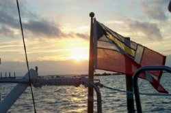
We crossed from Riviera Beach to West End on Grand Bahama Island in light winds and calm seas in about 10 hours on Friday, Feb. 10th. We hooked up with about 5 other boats headed to the same port. It was a beautiful day for crossing and much, much better than our last ocean voyage.
We crossed from Riviera Beach to West End on Grand Bahama Island in light winds and calm seas in about 10 hours on Friday, Feb. 10th. We hooked up with about 5 other boats headed to the same port. It was a beautiful day for crossing and much, much better than our last ocean voyage.
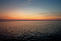
Sunrise over the ocean
The Crossing
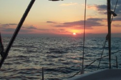
Worried that the good weather might disappear, we decided not to wait for our mail and got prepared to leave for the Bahamas early in the morning on Friday. Thursday evening, Cathy made a general call on VHF to boats in the area planning to cross to the Bahamas the next day. Ciao and Kokomis responded and we made a plan to leave the next morning at 5am. It would still be dark when we left, but we could navigate the well-lit inlet in the dark. However, on the other end, it would get us into West End by mid-afternoon, giving us better visibility to the water depth (the sun angle is not too low) as we navigated the narrow, rocky channel into the marina.
We were the first of our group out the inlet into the ocean. The swells were gentle, but were coming at us on our beam (i.e., broadside), which made for some discomfort in the rolling. However, the biggest waves were probably no more than 4 feet, and the wave frequency was such that it wasn’t too bouncy.
We entered the Gulf Stream very soon after leaving the inlet, since the western wall was only 7 miles out. That meant we didn’t have much time compensate for its strong northerly current. Just past the Lake Worth sea buoy (the inlet’s outer marker), we pointed south of our course line to try to position ourselves better for the northerly push the Gulf Stream would soon give us. However, it wasn’t long before we found ourselves drifting north of the route line from the strong current. We finally decided to steer toward our route line and keep adjusting our compass heading to keep on the route line. We were out of the strongest effects of the Gulf Stream by mid-day.
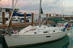
The winds were “on the nose” from the southeast most of the day, so we couldn’t even use our genoa for any additional power. However, we averaged almost 6 knots for the trip across, arriving just after 3pm in our slip at Old Bahama Bay Marina.
Bahamian Courtesy Flag on Orion
Clearing Customs
The Customs office was closed when we arrived, but would re-open at 4pm. This gave Dave time to finish adjusting the dock lines and check-in at the marina, while Cathy spent the time filling out the numerous forms for both Customs and Immigration. Since the boat was under quarantine until we checked in via Customs (we have to display a yellow quarantine flag while we wait), Cathy stayed on board to put things away, while Dave (as captain, at least on paper), went to clear Bahamian customs.
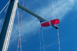
Dave described the Customs clearing process as being “tag-teamed”. Multiple agents from Customs and Immigration asking questions and having him complete more forms (Cathy missed 2 in the packet). He answered the question about our length of stay perhaps a little too literally, saying that we might fly back to the US for a brief trip to do our taxes. For that reason, our immigration forms were authorized only through March 31st. We’ll deal with that later if we have to. At any rate we paid our $300 (in cash of course) and got our clearance to replace our quarantine flag with a Bahamian courtesy flag.
We were officially in the Bahamas.
Orion at West End
Crossing Company
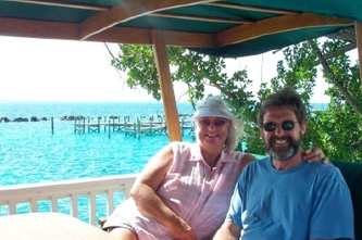
Dave was done with Customs and Immigration in 15 minutes, which gave us time to send a quick e-mail that we had arrived and to join the other boaters at a Managers Special cocktail party at the bar on the resort beach. It was a beautiful way to end the day, getting to meet in person our traveling companions. And the complimentary drinks and h’or d’ouvres weren’t too bad either.
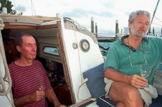
Ciao, Island Time and I Dunno (3 boats that had joined us in crossing) were there and toasted our first crossing to the Bahamas. They were planning on moving further south in the next day or so to Nassau and the Exumas, and we were planning on staying in the Abacos, the northern islands in the Bahamas. So, we spoke to Kokomis (our other crossing companion) , who was now our neighbor on the dock. They were planning on heading north across the Little Bahama Bank to Great Sale Cay and eventually to Marsh Harbor. Since that was our direction, we decided to travel together.
They agreed to lead the way, since we were skittish about traveling the shorter, but much shallower route through Indian Cay Channel by Indian Rock (ominous name, isn’t it?). Since Kokomis draft only 4 ½ feet, they could give us warning if any depths appeared too shallow for us at 5 ½ feet. We decided to leave around 10am the next morning , so we would be on a rising tide, and it would make a short day of it, heading only to Mangrove Cay about 27 miles away. The next morning, Bonnie Lass also decided to join us for the trip, which proved to be uneventful, although the clear water made the shallow depths a little unnerving.
As we approached Mangrove Cay, Kokomis decided to head on to Great Sale Cay in one day, to make better progress toward Marsh Harbor. So it was just Bonnie Lass, one other boat and us at Mangrove Cay. A big difference from the crowded anchorages along the ICW.
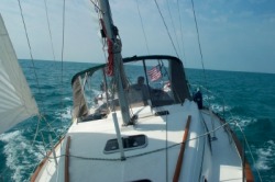
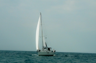
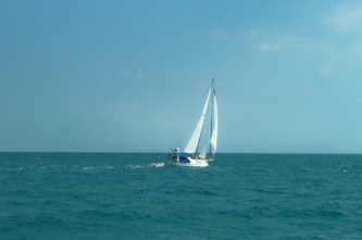
Orion under sail to Great Sale Cay
We're Actually Sailing
Leaving Mangrove Cay the next morning, we headed for Great Sale Cay, another stop on the Little Bahama Bank. The winds were 10-15kt form the southeast, making for a great direction for sailing. (Maybe they should call it Great Sail Cay.) We unfurled the sails and turned off the motor, managing to sail all the way there. The last time we’d traveled under sail alone was back in the Chesapeake in October. We almost forgot how to do it.
We could never quite catch Bonnie Lass, though. Every time we got close, she pulled away from us. It must have been their turbo-boost option.
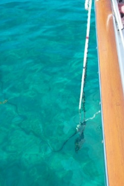
Orion's anchor bridle
Is that our anchor down there?
We had been told to expect the clear water, but it was an amazing thing to be able to follow your anchor chain through the water all the way from the boat to the anchor. At Mangrove Cay, the water was calm enough to easily follow the chain through the sand. We launched the dinghy and rode over the chain to the anchor to be sure it was set properly. This didn’t work as well at Great Sail Cay, where the water was much choppier.
We had been told to expect the clear water, but it was an amazing thing to be able to follow your anchor chain through the water all the way from the boat to the anchor. At Mangrove Cay, the water was calm enough to easily follow the chain through the sand. We launched the dinghy and rode over the chain to the anchor to be sure it was set properly. This didn’t work as well at Great Sail Cay, where the water was much choppier.
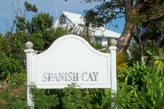
Spanish Cay
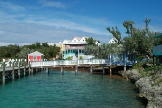
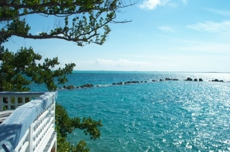
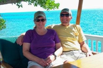
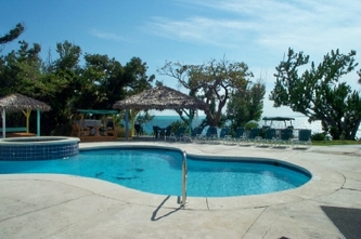
We’ve been waiting out the high winds at Spanish Cay Marina, which is our first time to explore a Bahamian barrier island. It has beautiful beaches on the Atlantic side of the island, protected by a distant reef. On the western side is the marina, with its beautiful views of the Bight of Abaco. The Marina grounds are idyllic, with a pool and hot tub overlooking the water, where we enjoyed drinks at the end of the day.
There are very few people on the island. Since it is the winter season, we are joined by only a 3 or 4 other boats in a marina that can hold 80. There are few marina workers, most of whom arrive by boat every morning and return home every afternoon. The island is owned by the resort and there are only 2 or 3 staff who live here this time of year. It is unbelievably quiet and peaceful.
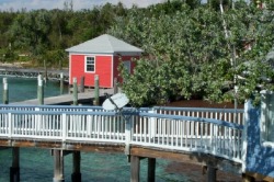
However, there is still internet connection, allowing us to communicate our continued existence to the outside world, thanks to the technology of Cathy's former company, DirecWay (aka HughesNet) from Hughes Network Systems.
We continue to travel with Bonnie Lass. Graham and Val are great fun and have been welcome company as we both explore this area for the first time. We’ve met the few other boaters who’ve come in to the marina as well, including a couple of Germans who were attempting to take their boat from Treasure Cay to the US for eventual transport to Germany. The weather wasn’t cooperating, so they returned to Treasure Cay, inviting us to visit them when we got that far.
We expect to leave here on Thursday (Feb. 15th) and head to Manjack Cay and then Green Turtle Cay the next day if the winds cooperate. (We need to enter Green Turtle Cay on a rising tide due to its shallow depths. Stopping at Manjack will allow us to do this early in the morning high tide.) There, we will wait out another series of high wind days, exploring this more populated island.
