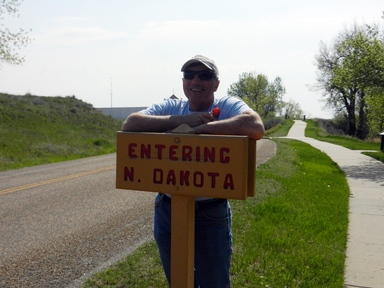
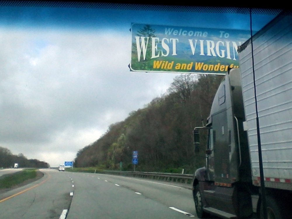
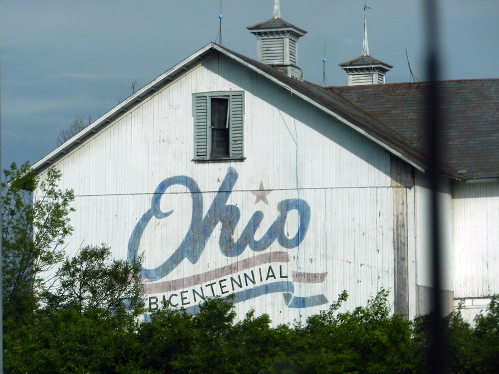
 Dave checks off his 50th State
 Maryland, West Virginia, Pennsylvania, Ohio, Illinois, Indiana, Iowa, Minnesota, North Dakota, Montana. Most of the states were a bit of blur as we made a fast trip west to get some miles behind us. Having caught up with Pat and Fred in Maryland, we were starting our trip to Alaska on a sprint. The thought was that this would allow us a little more time on the westernmost part of our trip to Alaska. Ten days after our departure from western Maryland, we were entering the southeast corner of Alberta, Canada, across the border from Montana. We then threaded the needle between the cold weather in the snowy Rocky Mountain passes and the wildfires and smoke in northeastern Alberta. (No, we weren’t close to the latter. But the smoke was being felt well south of there into North Dakota and Montana.) We had some 2000 miles behind us and had passed some beautiful country.

Wal-marts ‘R’ Us
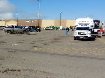
With our race across the Midwest, we weren’t looking for glamorous or scenic places to stay. We just needed to pull in late in the day and head out early the next morning. That meant that most of our stops were at Wal-marts. Some were very rural and one was right downtown Peoria on the Iowa River. As with everything these days, there’s an app for that. We use RVParky, which identifies all sorts of services for traveling in an RV. Using it, we found a rest area in Iowa that had a free dump station. Pat and Fred found a Flying J that had water, fuel, dump and propane, not to mention the ever-elusive mailbox.
So using our smartphones as a guide, we traveled across the Midwest through the “I” states (i.e., Illinois, Indiana, Iowa) and up through Minnesota, North Dakota, and Montana. We got to be pretty good at the Wal-mart routine along the way, but always ready for the occasional surprise. Some parking lots filled with semi’s in addition to RV’s, which made them noisy. One parking lot was filled with the store’s spring garden supplies, making it difficult to find a place to park, but the Lowe’s next door gave us the option of staying there if we couldn’t fit. Of course, there was one night when we received a knock on the door around 9pm, saying we couldn't stay there. So, we had to pack up and move. Although we had received permission when we stayed there before, apparently the rules had changed. Now, we call every time.
 Sunrise at Cabelas
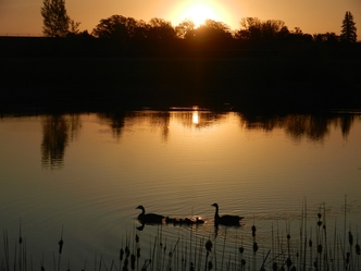
 We did break the Wal-mart pattern at least once. One night, we stayed at a Cabela’s south of Minneapolis in a little town called Clinton Falls. This had a nice set-up. The truckers were in a separate lot. Also, there was a free water fill, and a dump station for a nominal fee. It had a nicer walking path and, of course the store is pretty amazing, if a little expensive. And then there was the Russell Stover’s store a short walk away. Cabela’s is our new favorite place to stay.
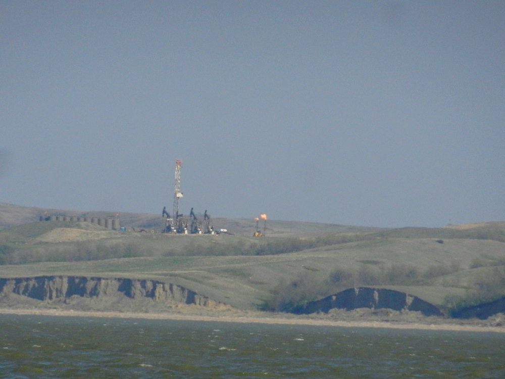
 Wind stirs up the water on Lake Sakakawea
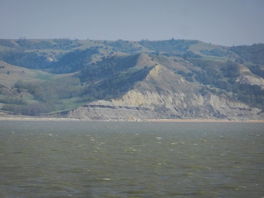
 Wind, Rain and Fire
When we planned our route across the country, we didn’t give too much thought to the impact of the weather – something we study relentlessly when traveling by boat. It was spring. Since there wasn’t likely to be snow, what could create a problem? Well . . .
As we made our way across the prairie, the wind took on its own personality. Mostly from the northwest (which was, coincidentally, our direction), it could grow to amazing speeds, knocking our fuel economy down to single digits. We had to re-secure items in the bed of the truck and re-attach some loose parts on the exterior of the truck. When we saw forecast of 40mph winds on the nose for a couple of days, we knew we had to find some cover. Unfortunately, we were in the northern part of Montana, traveling route 2, a two-lane road that connects some sparsely populated small towns. There were no Wal-marts here, and not much else either. We considered stopping at a rest area, but the first one we saw had no protection at all.
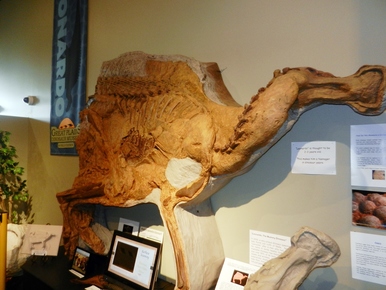 Leonardo, a mummified Duckbill dinosaur in Malta MT
 A little further down the road, we found a refuge in the town of Malta. They had a town park, with pull through sites. There were no services other than restrooms, but the dyke that protected the park from the nearby Milk River was a terrific wind break. The wind blew for 3 days. With plunging temperatures, wind and rain, we mostly holed up in the RV for the first day. We did venture out briefly, but shelter has rarely felt so good once we got back inside. The second day was a little better, so we did some chores – groceries and laundry – before taking in the sites. This included a very interesting Dinosaur museum. We learned that Montana is dinosaur country and Malta is dinosaur central. One of their claims to fame is a mummified dinosaur, which was on display. Amazing!
So once we had a handle on the wind, we started looking around at the sky. Even on clear days, there could be a haze. We soon learned that this was the smoke from the fires in northern Alberta. We were shown a website that showed the current state and intensity of the smoke from the fires. (Check it out here.) It extended almost 1000 miles southeast of the fires and would move as the wind changed direction. It looked like we would have to factor this into our travel plans, as well.
And then, there was the snow. The front that had us holed up in Malta was dumping snow in the Rockies. While we were just dealing with wind and rain, the nearby towns were having power outages, 4 foot drifts and blizzard conditions. That meant it didn’t make sense to head to Glacier National Park and drive through the Rockies. The roads weren’t even all the way opened.
With all of these competing forces in mind, we made our way north – east of the Rockies, south of the fires, and, hopefully, with the wind behind us.
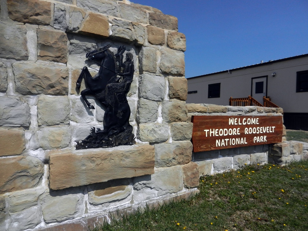
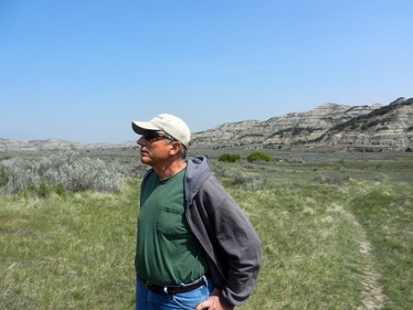 Dave surveying the landscape at Theodore Roosevelt National Park.
 Seeing the Sights
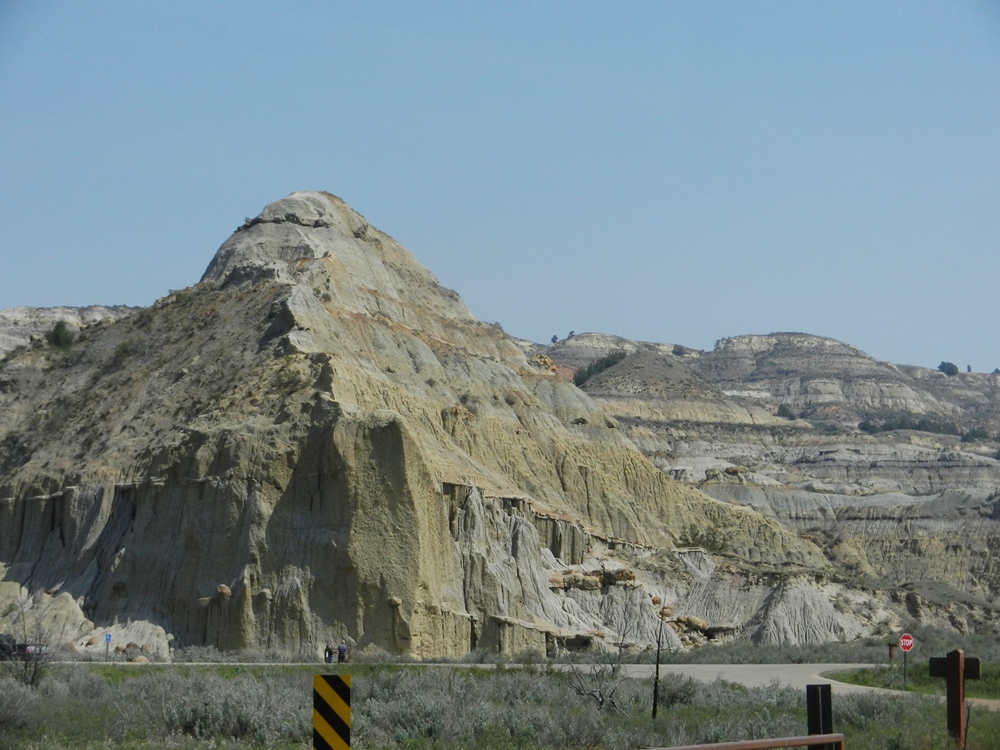
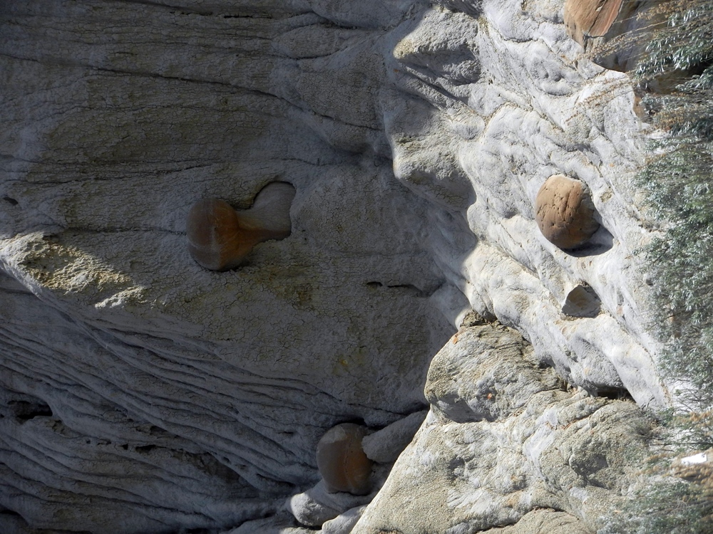
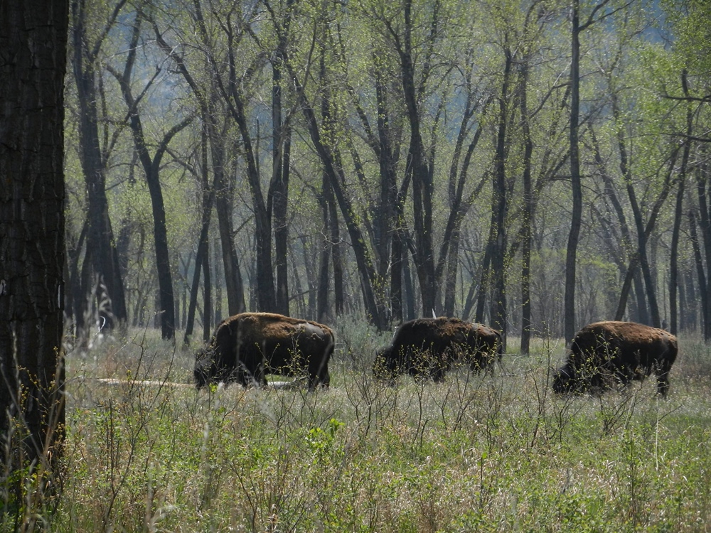
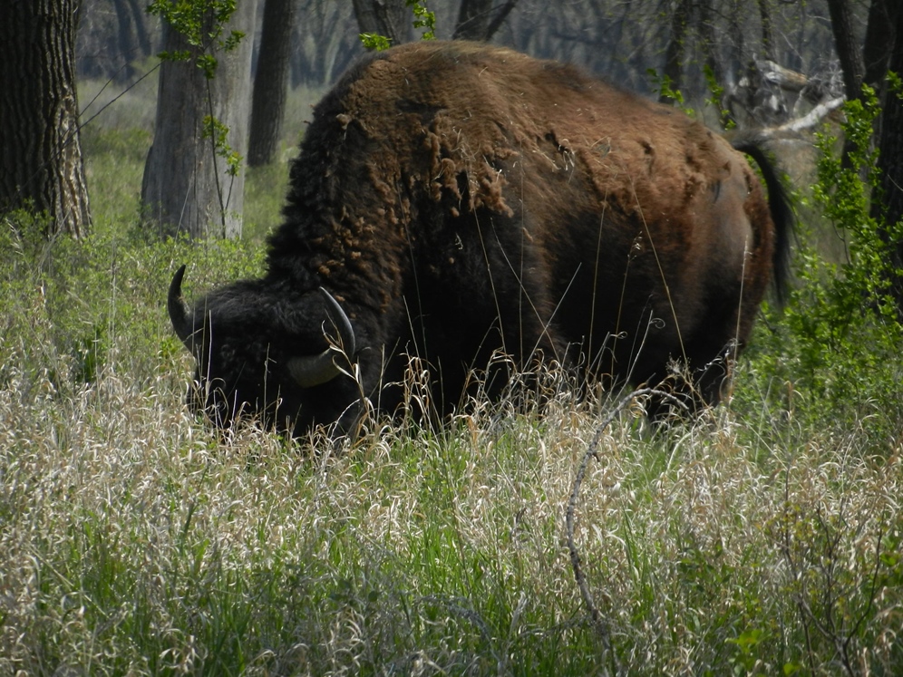
But we did manage to stop and see some sights. We spent a weekend at North Dakota’s Lewis and Clark State Park, on Lake Sakakawea (an alternate spelling of Sacagawea), which is in northwestern North Dakota almost on the Montana border. A beautiful setting, this gave us a home base to explore a little. Leaving the rigs behind, we drove down to Theodore Roosevelt National Park, which is North Dakota’s portion of the Badlands and the location of Theodore Roosevelt’s cattle ranch. The scenery was dramatic, and we were treated to some up close encounters with a group of buffalo. It was a beautiful day for the visit.
But we did manage to stop and see some sights. We spent a weekend at North Dakota’s Lewis and Clark State Park, on Lake Sakakawea (an alternate spelling of Sacagawea), which is in northwestern North Dakota almost on the Montana border. A beautiful setting, this gave us a home base to explore a little. Leaving the rigs behind, we drove down to Theodore Roosevelt National Park, which is North Dakota’s portion of the Badlands and the location of Theodore Roosevelt’s cattle ranch. The scenery was dramatic, and we were treated to some up close encounters with a group of buffalo. It was a beautiful day for the visit.

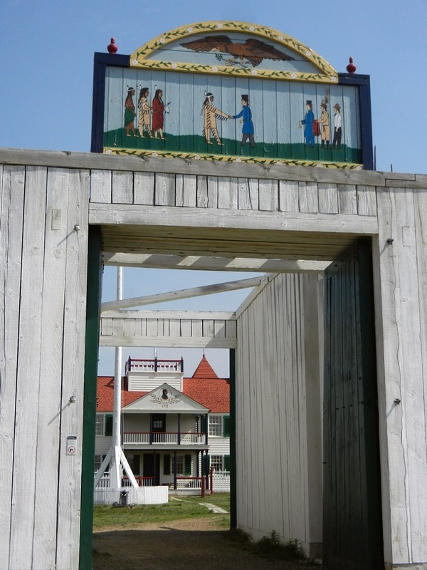
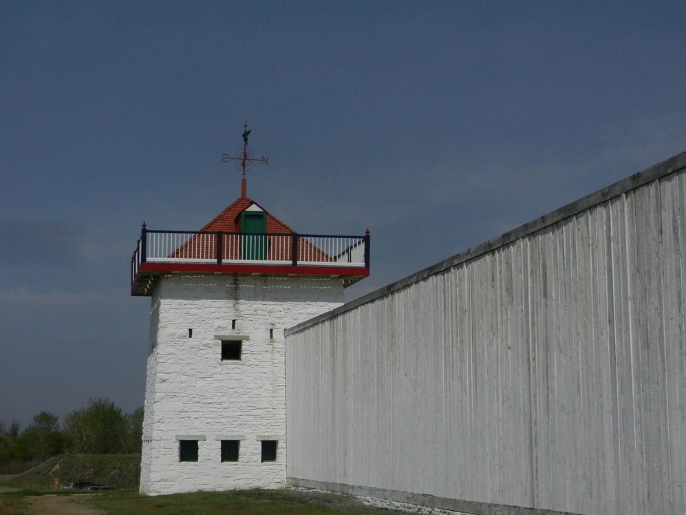
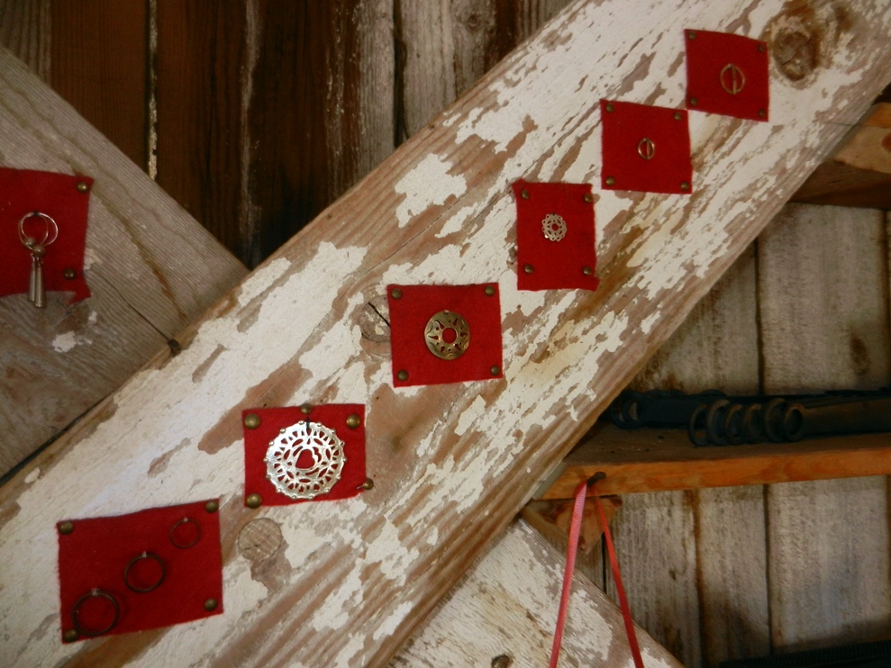
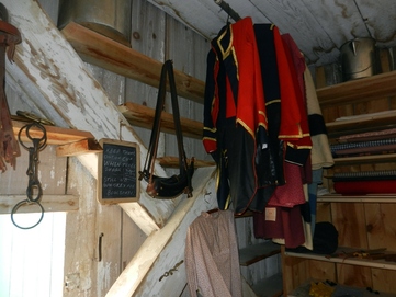 Goods that would be traded for fur pelts
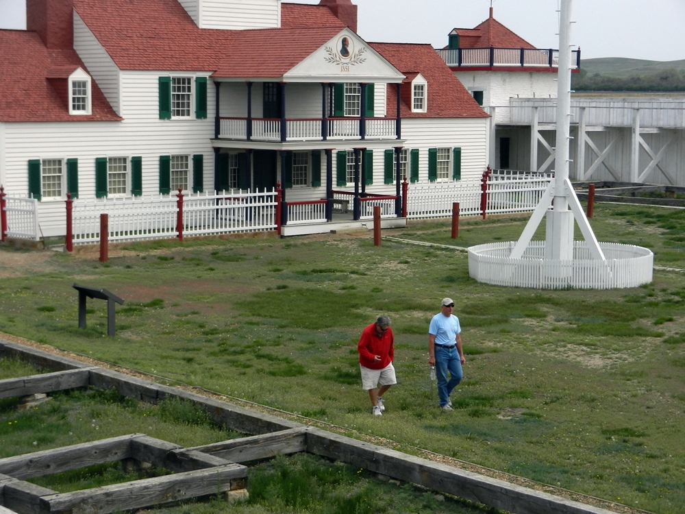
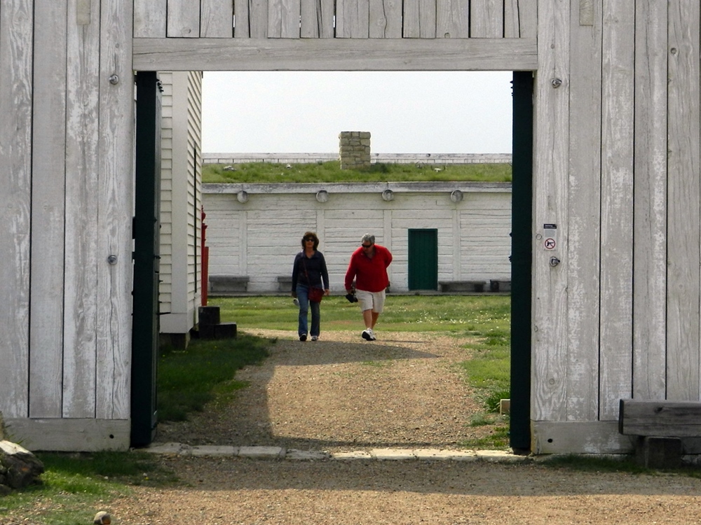
 On our way out of town the next day, we stopped at Fort Union Trading Post National Historic Site, which was the center of the fur trade for four decades in the mid-19th century. It was positioned at the confluence of the Yellowstone and Missouri Rivers. The fort had been partially reconstructed, giving us a glimpse into the workings of the fort at its height. The decimation of the buffalo and the end of the Civil War ended the prosperous years of the fur trade and the fort was dismantled

Crossing the Border:
Early on Friday the 13th, we headed north out of Havre, MT for Canada. Leaving the busy town, we were quickly up on the plains with the snow-covered mountains rising up on the western horizon. It was a small road and a remote border crossing at the southeastern corner of Alberta. There were just the 2 of us at the crossing. After a brief series of questions, we cleared Canadian customs first, followed by Pat and Fred. They had an almost uneventful crossing. However, there was the matter of this plant. . . You’ll have to ask them for the details. Let’s just say Pat got her exercise returning it to the US side of the border
Early on Friday the 13th, we headed north out of Havre, MT for Canada. Leaving the busy town, we were quickly up on the plains with the snow-covered mountains rising up on the western horizon. It was a small road and a remote border crossing at the southeastern corner of Alberta. There were just the 2 of us at the crossing. After a brief series of questions, we cleared Canadian customs first, followed by Pat and Fred. They had an almost uneventful crossing. However, there was the matter of this plant. . . You’ll have to ask them for the details. Let’s just say Pat got her exercise returning it to the US side of the border
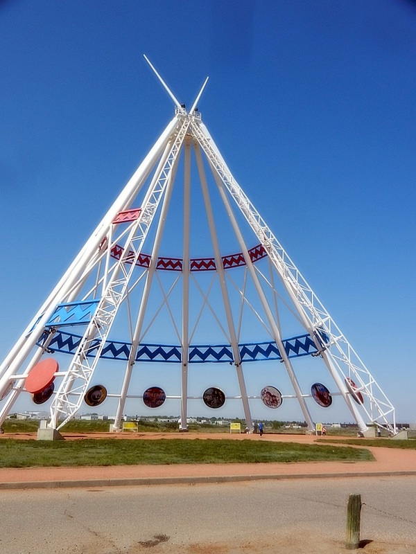
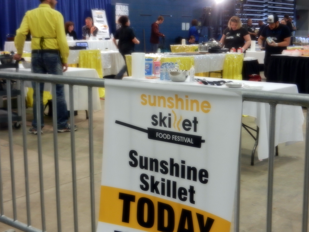
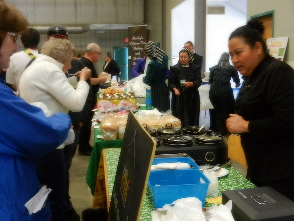
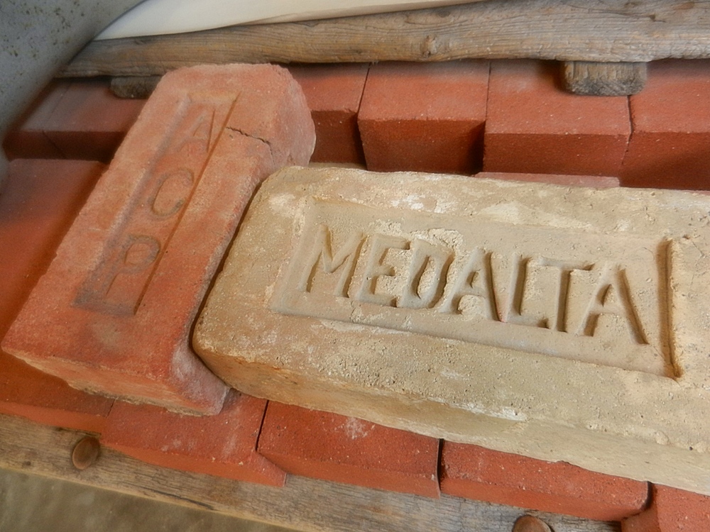
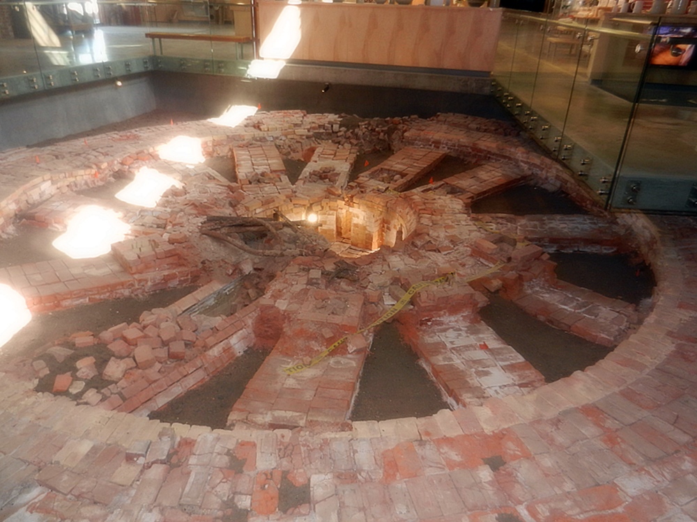
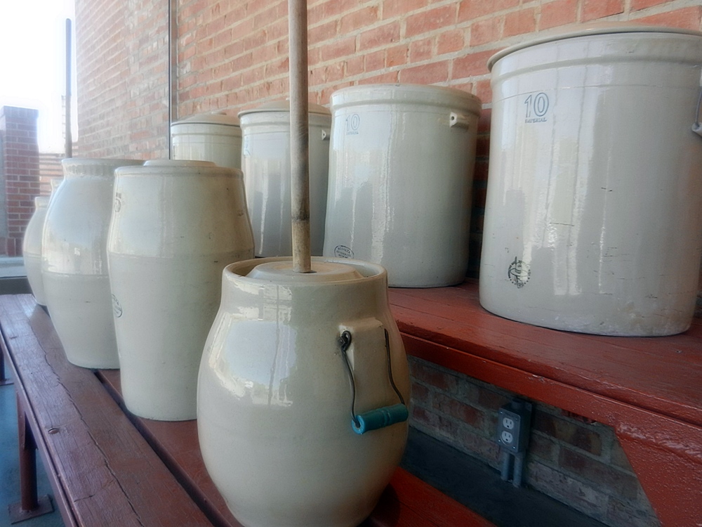
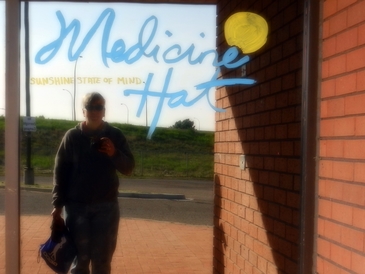
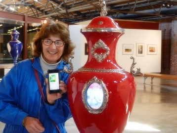 Pat using smartphone to interact with screen on urn
 Our next stop was Medicine Hat, where we spent some time exploring the town. We started our Saturday at the Farmer’s Market, where they were having a cooking competition that was being filmed. We bought some berries called Saskatoons, which are local variations on a blueberry. Our next stop was the Medalta Pottery Museum. Medicine Hat was at the intersection of the natural gas industry, a railroad center, and lots of clay soil. That was the impetus for a booming pottery industry that lasted for decades in the early 20th century. From its inception making sewer pipes, they evolved to china and more elegant pieces before the industry declined after the 2nd World War. We had lunch at a local BBQ fundraiser for the victims of the fires at Fort MacMurray and then made our final stop at the World’s Largest Teepee, that was a monument to the First Nations that populated the area and for which the town was named.
From Medicine Hat, we made our way further north, planning to approach the Alaska highway from Edmonton. And hopefully, avoid the wind, snow and fire along the way.
From Medicine Hat, we made our way further north, planning to approach the Alaska highway from Edmonton. And hopefully, avoid the wind, snow and fire along the way.