After traveling 3500 miles through the US and Canada, we finally made it to the famous Alaska Highway (formerly the Alcan), arriving at Mile Zero in Dawson Creek in a late May snowstorm. By the end of May, we had traveled almost 1000 miles on the highway and had taken in the sites in the lower Yukon Territory around Whitehorse, with less than 400 miles to the end of the Alcan and the beginning of our time in Alaska proper.
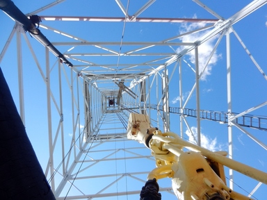 Looking up into a 30 meter oil derrick at the Leduc #1 Energy Center
 Getting to Mile Zero
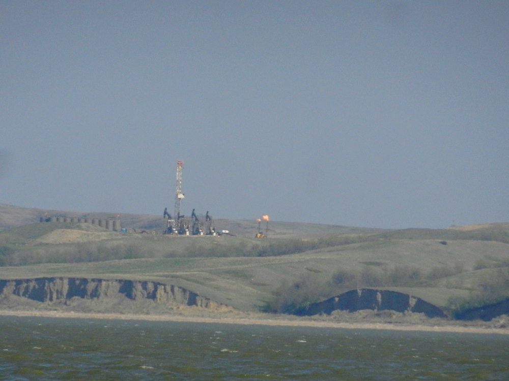
To get to Mile Zero, which is in the northeast corner of British Columbia, we had to travel through northwestern Alberta. We chose a route through the city of Edmonton, Alberta’s oil center, and the more remote small town of Whitecourt, whose economy is fueled by logging and the paper industry
To get to Mile Zero, which is in the northeast corner of British Columbia, we had to travel through northwestern Alberta. We chose a route through the city of Edmonton, Alberta’s oil center, and the more remote small town of Whitecourt, whose economy is fueled by logging and the paper industry
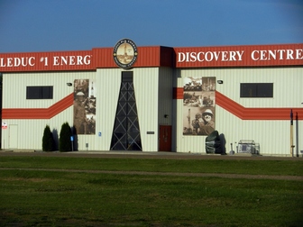
Understandably, we didn’t take the rigs into Edmonton itself, but stayed in the suburb of Devon, at the Leduc #1 Energy Center campground. For the price of a night at the campground, we received admission to the museum next door. This was the site of a major oil well that started a boom in oil production throughout this area of Alberta. After passing by miles and miles of derricks and pumps, it was going to be a good way to get some of our questions answered about this industry.
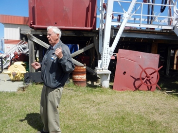 A veteran of the oil industry's early days tells us how all the equipment was put to use.
 After digging 133 dry wells, the Leduc #1 well was a long-awaited major success and the first of many in this section of Alberta that are producing still. When this iconic well stopped producing, the area surrounding it was turned into a museum that told the story of the oil industry in Alberta from its early days to the present. We entered the “world’s largest virtual drill bit” and traveled deep into the earth to find oil. We learned about the sometimes turbulent relationship between this new industry and the farmers whose lands sat on top of the oil. And then there was the disturbing present-day realities of fracking and the oil sands. Outside, as we walked under the big oil derrick we were treated to a first-hand account of the way the wells operated by someone who had done it all. It was a fascinating place and one you should seek out if you happen to be in the area.
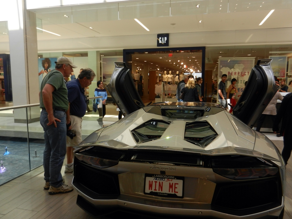
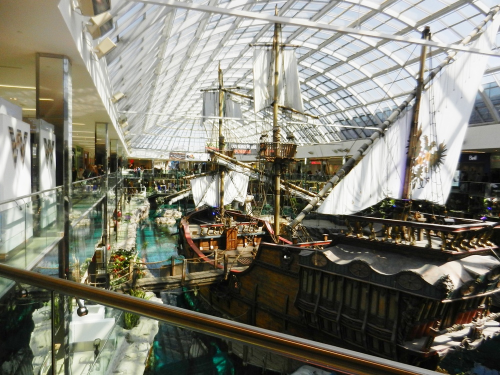
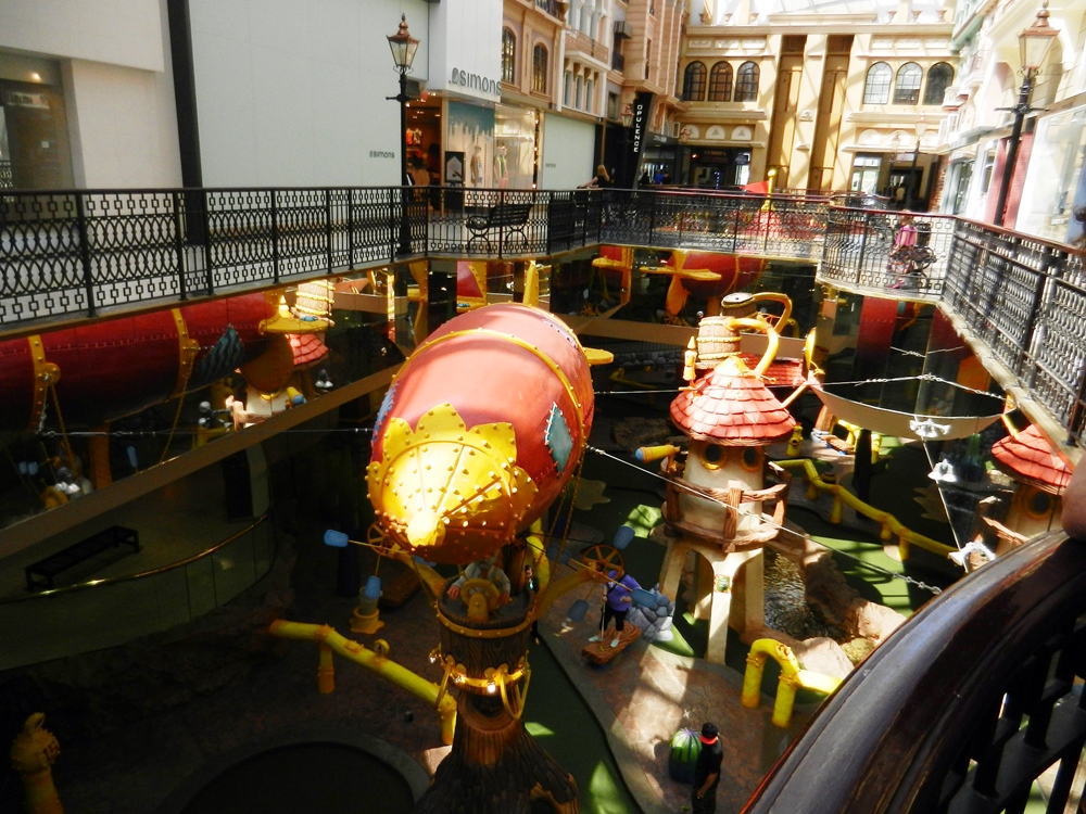
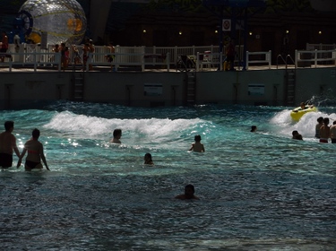 Wave pool at West Edmonton Mall
 Although the city of Edmonton had a number of sites worth touring, many of them would not be opening until the Victoria Day weekend. Since we couldn’t visit those, we opted for one that was open year round – the West Edmonton Mall – the largest mall in Canada. It boasted a water park, a full-size pirate ship, a miniature golf course and a ice rink.
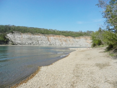 Rocky shoreline on Saskatchewan River
 On the way back to our campground, we crossed the Saskatchewan river and ventured down to take a closer look. With the warm weather, there were people out and about, wading in the water and boating. We saw one of the more dramatic boat launches that we’ve seen. With a shoreline covered in small pebbles, the boat ramp descended steeply and then required you to turn the trailer up river to avoid a rocky shoal that was building just off the ramp. With a stiff current, the tendency was for both the trailer to shift toward the shoal. Most tow vehicles had to bury the back wheels into the water before the boats could float off the trailer or to retrieve a boat. It’s pretty certain we’ll never launch Orion Jr here.
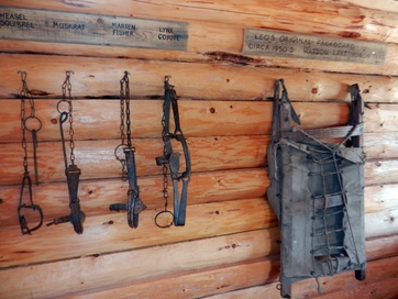 Tools on display at the Forest Interpretive Center
 After a couple of nights in Devon, we moved up to the more remote Whitecourt. Before heading to our Wal-mart for the night, we stopped by their Forest Interpretive Center at the edge of town. There we explored artifacts of the local history and their relationship to the surrounding forest. From trapping to logging, the livelihoods that were derived from this locally abundant resource were on display in the small inside museum. Outside, several historic buildings had been relocated to the property to give you a feel of the earlier life here.
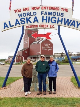
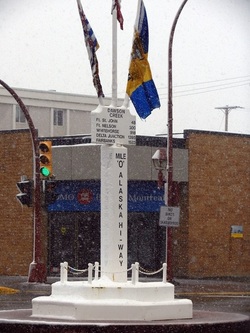 The historic Mile zero statue in Dawson Creek.
 Mile Zero – War, Weather, and Wrestling “doggies”
With the forecast showing plummeting temperatures and even that four-letter word, snow, we were in denial as we headed out of Whitecourt in the still balmy temperatures we had enjoyed the past 2 days. However, we were quickly brought back to reality. By the time we reached Grande Prairie with 2/3rd of the day’s travel behind us, the rig was covered in snow and the surrounding countryside was white. Locals joked about this weather as being “typical” of what they call the “May Long Weekend” or Victoria Day. “Yeah. We always have this weather every year. That’s why I always wait until the next weekend to go fishing.” Great. By the time we pulled into our campsite at Dawson Creek and used our numbing fingers to connect power, water and sewer, we were chilled to the bone and tired. Exploring could wait until Friday.
With the forecast showing plummeting temperatures and even that four-letter word, snow, we were in denial as we headed out of Whitecourt in the still balmy temperatures we had enjoyed the past 2 days. However, we were quickly brought back to reality. By the time we reached Grande Prairie with 2/3rd of the day’s travel behind us, the rig was covered in snow and the surrounding countryside was white. Locals joked about this weather as being “typical” of what they call the “May Long Weekend” or Victoria Day. “Yeah. We always have this weather every year. That’s why I always wait until the next weekend to go fishing.” Great. By the time we pulled into our campsite at Dawson Creek and used our numbing fingers to connect power, water and sewer, we were chilled to the bone and tired. Exploring could wait until Friday.
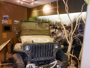 Essential transportation for the highway builders
 Of course, the snow continued to fall the next morning, but we didn’t let that stop us. We headed out to the Alaska Highway House, where we could watch an excellent film (from PBS’ American Experience series) on the construction of the Alaska Highway. It filled in the story which we knew in bits and pieces of a grueling drive through uncharted territory to build the road to Alaska during WWII. The Japanese had taken two of the Aleutian Islands and later would attack a post at Dutch Harbor. The short distance between Japan and Alaska made this an urgent mission. In eight months, by November 1942 the road was connected from Dawson Creek to Delta Junction in Alaska. The conditions were brutal, ranging from -70 to 90 degrees Fahrenheit. Slogging through deep mud (or muskeg), fighting mosquitos, and building over 100 bridges, the American troops and Canadian civilian contractors built the road that no one thought they could. An amazing achievement. Maybe we should stop complaining about a little snow.
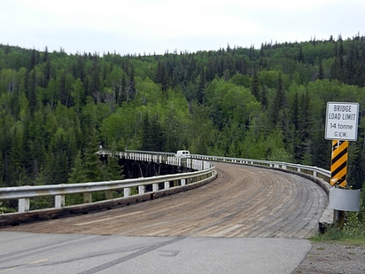 Kiskatinaw Curved wooden bridge
 What we also learned at this display is that the Alaska Highway has been straightened, smoothed out and re-routed a number of times in the last 70 years. That means that there are several sections of the original road that you no longer travel. One of these was the nearby Kiskatenaw Bridge, which is the only curved wooden bridge in North America. It took as long to build as the rest of the highway. The fact that it is still standing is achievement enough, since most of the other bridges had to be re-built at least once and some several times. Although you can take a side-trip and parallel the Alaska Highway to take the bridge, it’s weight limit has been reduced a few times over the years. At 14 tons, it won’t support Pat and Fred’s coach, which made us glad we visited by car.
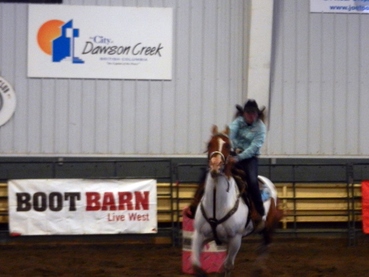 Barrel Racer at the Rodeo
 Deciding to stay a little longer in Dawson Creek gave us some time to join a few local activities. We wondered by Saturday’s Farmer’s Market, and made an attempt at visiting the Bear Mountain Wind Farm, (although even most locals weren’t making the slog through that muddy road) until we had to turn around. But the highlight was the Jr High Rodeo competition at the Lakota Agri-complex. Thankfully, they decided to move the event indoors (since it was still snowing), but it was still pretty chilly inside the unheated arena. We were treated to barrel racing, calf-roping, calf and goat –tying and -- most impressive --chute-dogging. Although this was a junior level competition, these kids were amazing. The most scary event as a parent, was watching these seemingly tiny boys wrestle some long-horn steers to the ground as the chute was opened and the steers sped out. Wow!
After 3 days, we were ready to move on, but glad for the time to get to know the road we would be driving and some of the people living around it.
After 3 days, we were ready to move on, but glad for the time to get to know the road we would be driving and some of the people living around it.

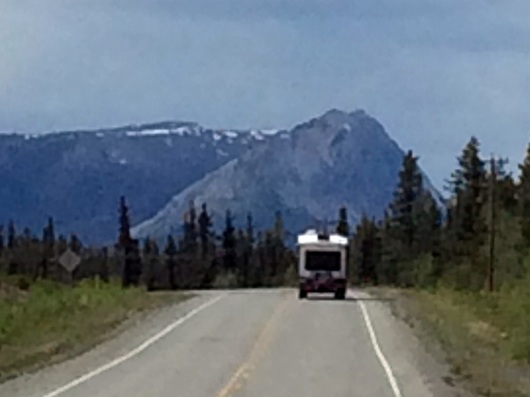
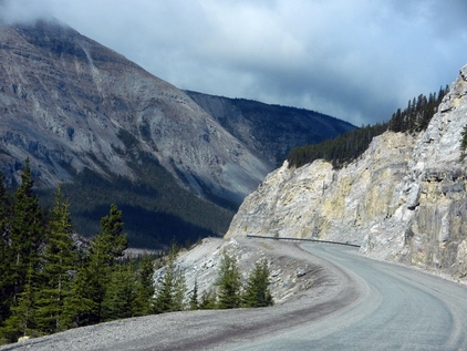 Alaska Highway traveling through the Canadian Rockies
 Dawson Creek to Whitehorse
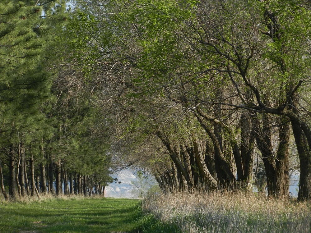
Over the next few days, we made our way north and west over the Alaska Highway. With some minor exceptions, it was paved and in good shape. It rose and fell over mountains and valleys and crossed numerous rivers. The first grade we descended to the Peace River bridge was one of the steeper ones we would encounter going up to 10%. In general, when we passed the “brake check” rest areas, we knew something steep was ahead. The vistas were beautiful, even when the weather was overcast. We wound through the Canadian Rockies, followed the rivers and lakes, which were natural paths through the wilderness for the original engineers. The road is still being improved. At one point in the Rockies, there were miles that were under construction as they were straightening out the curves into a straight line -- the same process that has been repeated in other areas over the years. Having to stop as the first in line for one stretch, we had a long conversation with the flagman. He was a local who worked on the highway in the summer and painted canvases in the winter.
Over the next few days, we made our way north and west over the Alaska Highway. With some minor exceptions, it was paved and in good shape. It rose and fell over mountains and valleys and crossed numerous rivers. The first grade we descended to the Peace River bridge was one of the steeper ones we would encounter going up to 10%. In general, when we passed the “brake check” rest areas, we knew something steep was ahead. The vistas were beautiful, even when the weather was overcast. We wound through the Canadian Rockies, followed the rivers and lakes, which were natural paths through the wilderness for the original engineers. The road is still being improved. At one point in the Rockies, there were miles that were under construction as they were straightening out the curves into a straight line -- the same process that has been repeated in other areas over the years. Having to stop as the first in line for one stretch, we had a long conversation with the flagman. He was a local who worked on the highway in the summer and painted canvases in the winter.
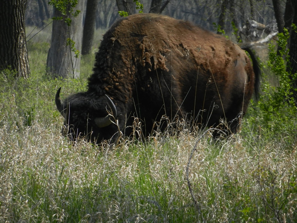
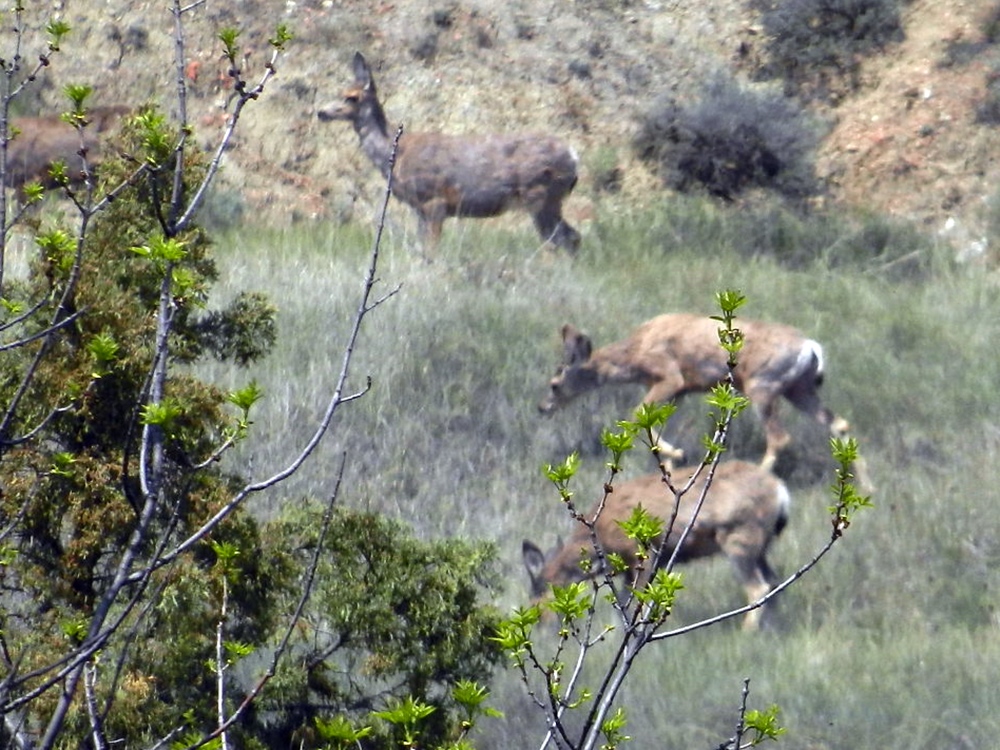
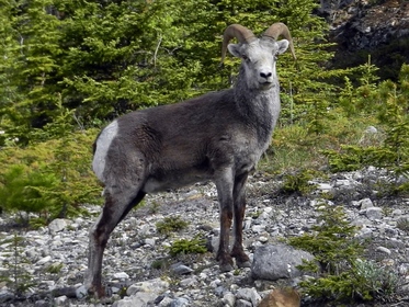 Stone Sheep
 We also saw a lot wildlife – stone sheep, buffalo, wolves, moose and bears. Usually they were right next to the highway, or maybe on a hill not far from it. However, some encounters were a little closer. Taking a stroll from our campsite at Liard Hot Springs, a buffalo was moving in the woods just beyond one of the unoccupied sites. Better a buffalo than the predatory bear that was rumored to be in the neighborhood.
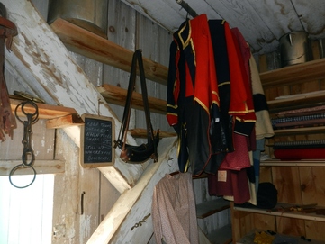
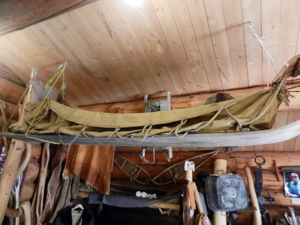
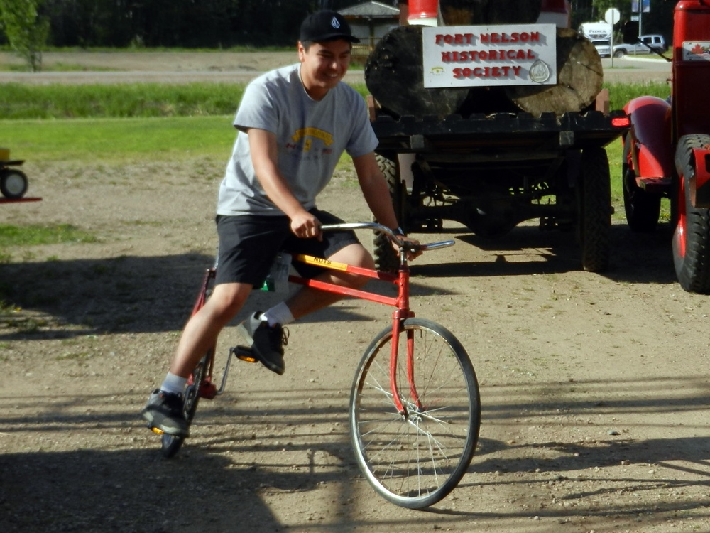
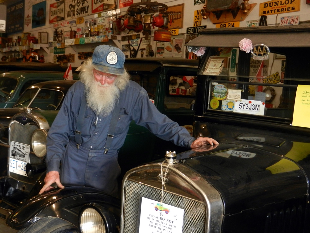
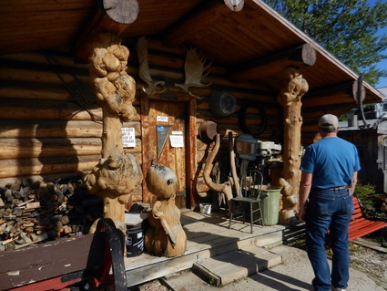 Dave at the original Hudson Bay Trading Post in Fort Nelson
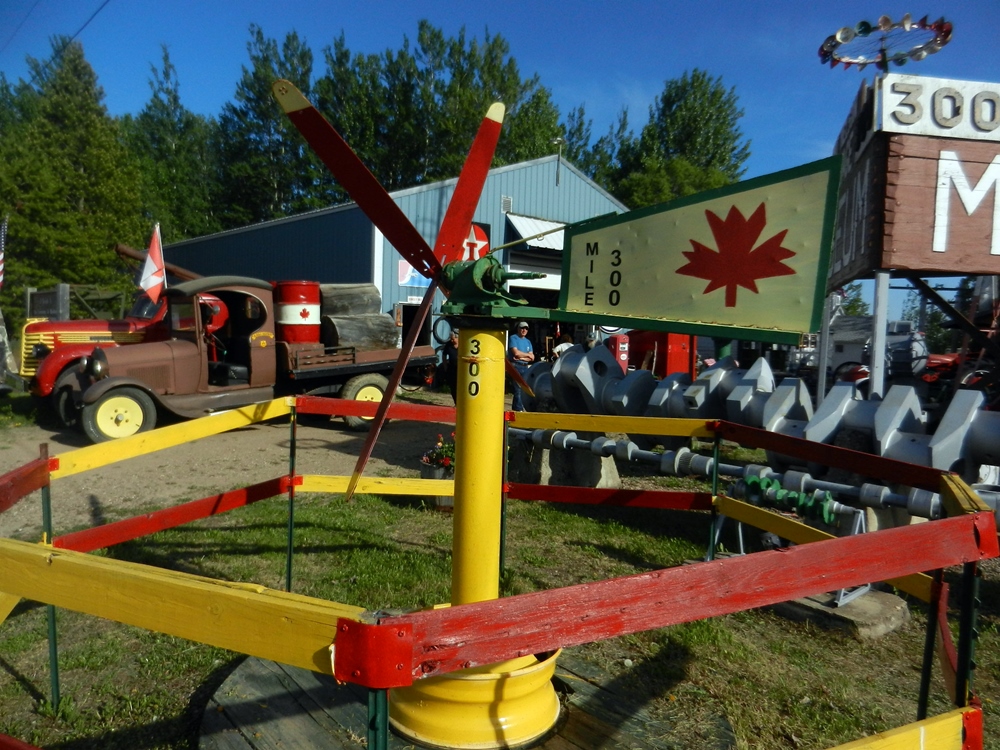
 There were historic, cultural, and simply unusual stops along the way. In Fort Nelson (mile 283), we spent an hour touring their Heritage Museum, a maze of equipment, memorabilia and buildings that had been accumulated around the collection of a local, Marl, who had started acquiring things shortly after arriving in British Columbia back in 1957 when the highway first opened for tourists. We toured the original Hudson Bay trading post, and the manager’s house, the telephone switchboard and a church. Then there were all of the antique cars and tractors. We even got to meet Marl himself, and see one of the docents ride a bike he invented that you could steer in both the front and back.


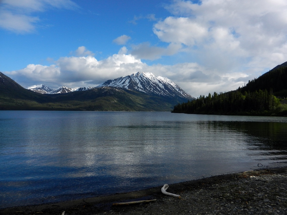
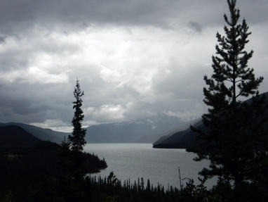 Muncho Lake
 At mile 477, we made the obligatory stop at Liard Hot Springs. This is a provincial park just northwest of the Rockies. It was hard to think of donning a swimsuit in the temperatures that greeted us upon arrival, but the water felt amazing. The more hardy guests made their way toward the source, which had temperatures approaching 140 degrees. We stayed further back in the more moderate 110 degree area. For a weekday, the pools were amazingly busy. Unfortunately, there was some bear activity, so were warned by the ranger (who had his hand on his pistol) to be cautious. We stayed bear-free overnight.
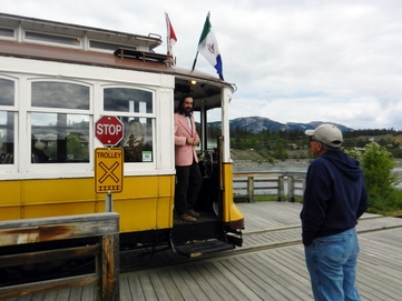 Dave chats with the Whitehorse Trolley conductor
 Whitehorse
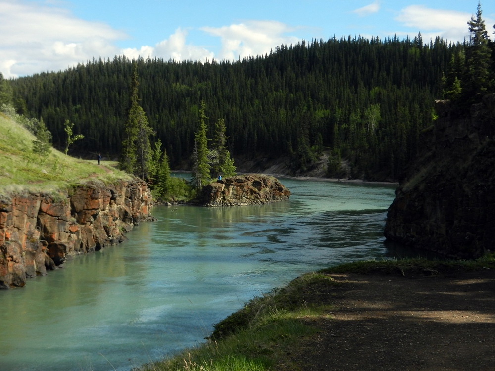
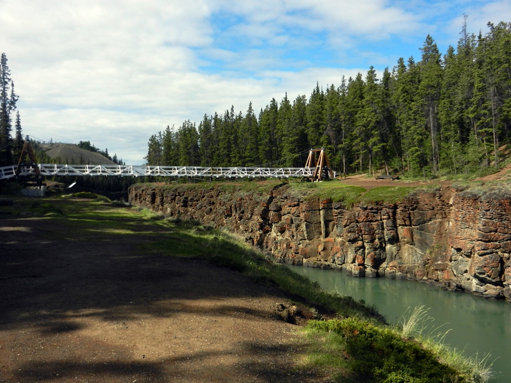
Having been in the more remote areas of northern British Columbia and southern Yukon for a few days, arriving in Whitehorse was a bit of a shock. The Visitor Center was downtown and the parking so crowded we couldn’t find a spot. We decided to head on to Wal-mart and figure out a plan for the next few days. Even Wal-mart was pretty crowded, but we did manage to find a spot in the designated area. After moving to a campground the next day, we began to explore more of the area. Our first stop was the Visitor Center for some orientation (and another movie, which was also very good). Then we checked out nearby Miles Canyon. A scenic walking trail over a suspension bridge now, it was the scene of some dramatic navigation back in the gold rush days as the stampeders had to navigate the rapids and fast current flowing through this rock canyon before arriving in Whitehorse.
Having been in the more remote areas of northern British Columbia and southern Yukon for a few days, arriving in Whitehorse was a bit of a shock. The Visitor Center was downtown and the parking so crowded we couldn’t find a spot. We decided to head on to Wal-mart and figure out a plan for the next few days. Even Wal-mart was pretty crowded, but we did manage to find a spot in the designated area. After moving to a campground the next day, we began to explore more of the area. Our first stop was the Visitor Center for some orientation (and another movie, which was also very good). Then we checked out nearby Miles Canyon. A scenic walking trail over a suspension bridge now, it was the scene of some dramatic navigation back in the gold rush days as the stampeders had to navigate the rapids and fast current flowing through this rock canyon before arriving in Whitehorse.
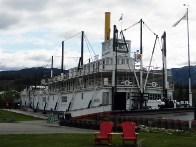 SS Klondike II Sternwheeler
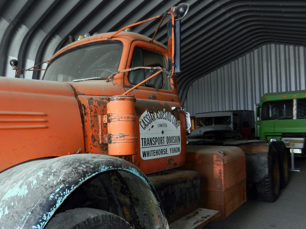
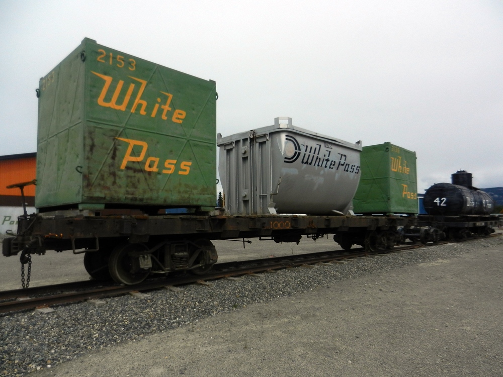
 On another day, we visited the Klondike II, the last of the sternwheelers to ply the Yukon river delivering consumer goods to Dawson City and ore to the railroad for points south. She is sitting on a spit of land next to the river east of downtown. The Alaska Highway eventually brought the end of the steamer era. A visit to the Transportation Museum with its unique windvane – a DC3 airplane – took us through the transformation each revolution in transportation from water to rail to roads to planes have had on the area. We rode the trolley through downtown by the waterfront and explored some of the shops along the downtown streets. That ride led to a chance encounter with some cast members of the Frantic Follies, a local 1890’s style revue that was to start June 1st, after we were scheduled to leave. When we explained this, we got an invitation to the local opening on May 31st as honored guests. What a treat!


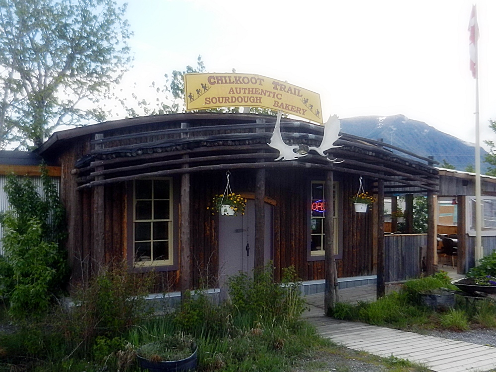
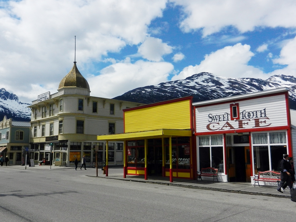
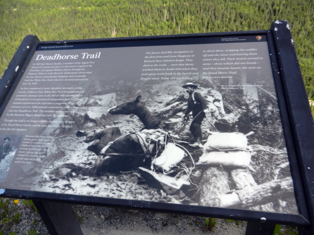
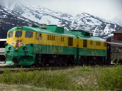 White Pass RR stopping at Fraser on the way to Skagway
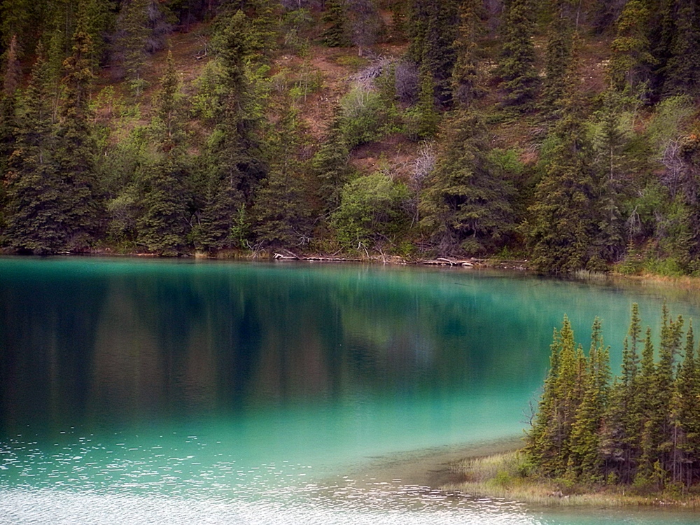
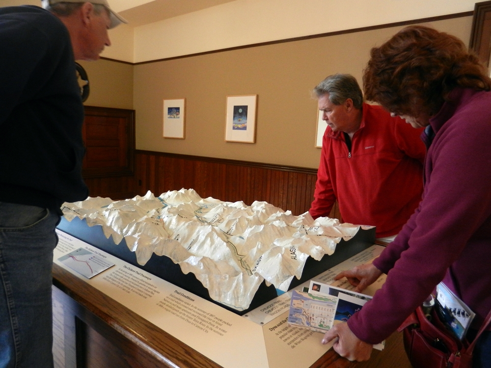
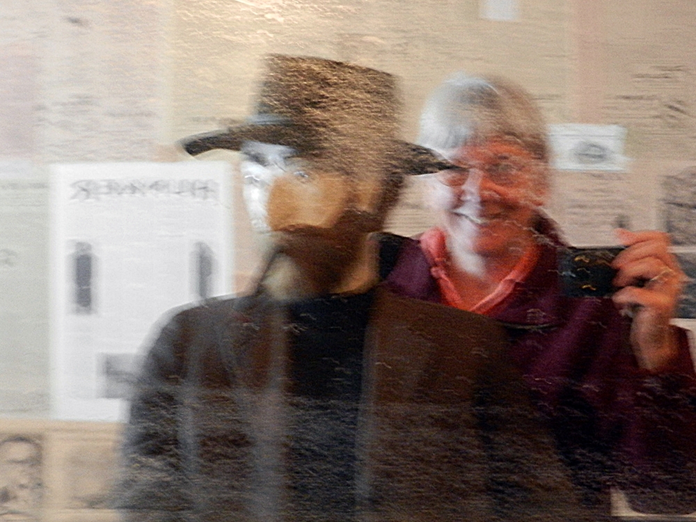
 On one of the nicer days, we decided to take the scenic drive south to Skagway, Alaska by car. Around every bend was one amazing view after another. Snow-covered mountains, emerald lakes, even the “world’s smallest desert” at Carcross. We saw the historic White Pass and Yukon Railroad pass by at Fraser and had a delicious cinnamon bun at the Chilkoot Sourdough bakery. In Skagway itself, the sun came out and the weather started to warm up as we made our way through the national park sites that explained the Gold Rush of 1898 – 99. We had arrived just in time to tour the recently opened Jeff “Soapy” Smith’s parlor that was an original building owned by a notorious con man in gold rush days. Since it was a “one ship” day (ironically the Volendam, our cruise ship was in port), the streets were uncrowded and we could wander at will through the historic buildings and shops. We had some terrific fish and chips outside on the deck of Wild Alaska Catch for lunch. It was a longer day trip, but worth every minute of it


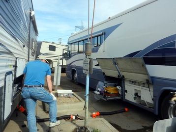 A not so pleasant duty - dumping the holding tanks
 RV Stuff
So, how’s the RV holding up to all of this travel? Overall, things are doing fine. We do have one small problem. The heat is no longer working. That makes some of the colder nights when we aren’t plugged in a little bit chilly. We’re still looking into that one. The microwave doesn’t seem to work as anything other than a clock and a storage bin. We can’t coax it to actually cook any food. The outside of the RV has been collecting its share of bugs and dirt, which we’ve managed to clean off with regularity. And then of course, we had to brush the snow off the slide topper to keep it from stretching too much.
So, how’s the RV holding up to all of this travel? Overall, things are doing fine. We do have one small problem. The heat is no longer working. That makes some of the colder nights when we aren’t plugged in a little bit chilly. We’re still looking into that one. The microwave doesn’t seem to work as anything other than a clock and a storage bin. We can’t coax it to actually cook any food. The outside of the RV has been collecting its share of bugs and dirt, which we’ve managed to clean off with regularity. And then of course, we had to brush the snow off the slide topper to keep it from stretching too much.
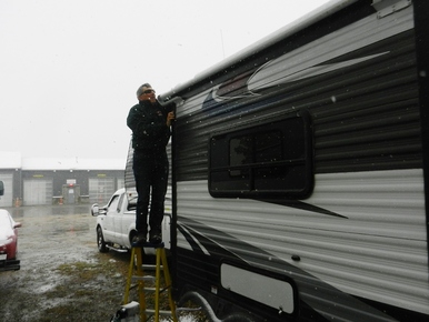 Removing snow from the slide topper
 As for the truck, when we arrived in Whitehorse, we decided to go ahead and do the oil change that was coming due. The mechanics did a good job and found no further problems with it.
With no cell phone service for several weeks, communication with Pat and Fred has been a challenge while underway. We tried using our CB but were having problems getting any distance. Once we switched to our walkie talkies that we use for parking, we were getting further range with less distortion. So that’s our preferred method for now.
We have a few hundred more miles before we make it into Alaska, but we’ve made a lot of progress in the last month and seen some beautiful sites.