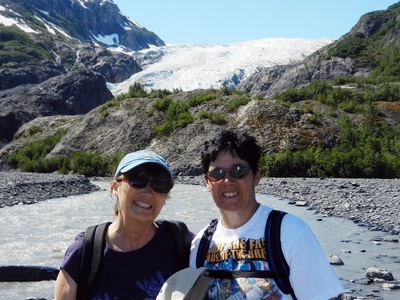
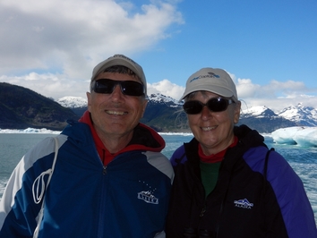
 At the Columbia Glacier near Valdez
 Driving through rain and fog, our Alaska journey began on a less celebratory note than we might have wished. No stopping at the border for pictures. However, every time we think that we can’t see anything more spectacular, we travel down the next road. It’s only been two weeks, but we’ve seen and done a lot.
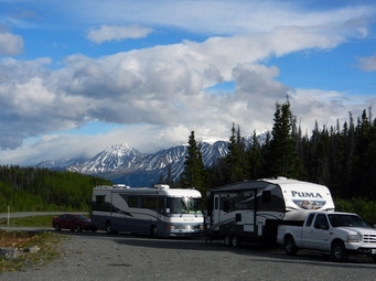 In the Kluane National Park, Yukon
 Finishing the Alcan
The last 400 miles of the Alaska Highway took us through some of the more remote areas of our trip so far. Towns and services were fewer and farther between. There were still some spectacular views and a few special sites. Unfortunately, the closer we got to the US border, the worse the road conditions became.
The last 400 miles of the Alaska Highway took us through some of the more remote areas of our trip so far. Towns and services were fewer and farther between. There were still some spectacular views and a few special sites. Unfortunately, the closer we got to the US border, the worse the road conditions became.
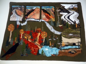 Kluane Quilt at Haines Junction Visitor Center
 Shortly after leaving Whitehorse, we stopped in Haines Junction, where the road to Haines Alaska turns off to head south. At this intersection is a Visitor Center for the Canadian national park that encompasses this country’s side of the Wrangell-St. Elias mountain range. The Kluane National Park is jointly administered by the Canadian National Parks and the First Nations people. The Visitor Center’s amazing movie gave us a glimpse at the vast park we would ride beside for the next several hundred miles, which includes Canada’s tallest mountain, Mt. Logan.
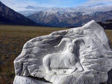 Tachal Dahl Center at Sheep Mountain
 After spending the night at a pull-off along the highway, we stopped the next day at the Tachal Dahl Center which offers an opportunity to view the Dall sheep grazing on the mountain nearby. Using their telescopes, we were able to spot 2 groups of sheep grazing on the upper slopes, although nothing that even the best of our camera lenses could capture. A mile further, we stopped to hike up to Soldier’s Summit, where the two construction crews building the highway had met. This was the site of the Dedication ceremony on a frigid November morning in 1942. The final stop was at the Kluane Natural History Museum in Burwash Landing. If we don’t get a chance to see any of the resident wildlife in living color, we got a pretty good look at them here as displays of the different habitats were inhabited by their denizens frozen in action.
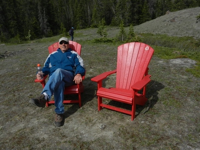 Dave at Soldier's Summit
 As we moved on toward the border, we began traveling miles and miles of roads in various states of re-construction. We had to slow to a crawl to pass over some of it. One stretch required a pilot car to lead us for several miles. It was getting late, and we were starting to run out of options for places to stay. That was when we pulled into Beaver Creek. A quick check at the visitor center showed us some options, and we found a parking lot nearby where the business gave us the thumbs’ up for the night’s stay. In return, we purchased some baked goods, including an amazing layer bar that was so good we bought 2 more. The clerk called it “Beaver Creek Crack”.
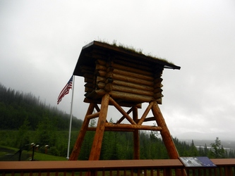 Tetlin National Wildlife Refuge
 Early the next morning, we were crossing into the US. After relinquishing our tomatoes and avocadoes, we were allowed to proceed into Alaska – at last.
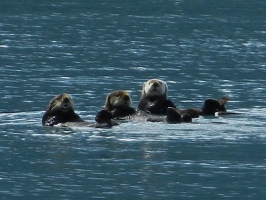 Sea Otters in Port Valdez
 Southeast Alaska:
Valdez
We made a couple of stops early on that first day – first at the Tetlin Wildlife Refuge and then at Tok, the first Alaskan town of any size. After getting some more information at the Visitor Center, we replaced the produce we lost at the border and headed south out of town on the Glenn Highway (aka Tok Cutoff) toward Valdez. With the skies still gray and rainy the next couple of days, we could read about amazing views of the Wrangell Mtns in the distance, but couldn’t see them through the clouds. By mid-day on Friday, we arrived at Blueberry Lake State Park, concerned that we needed an early arrival to ensure finding a space
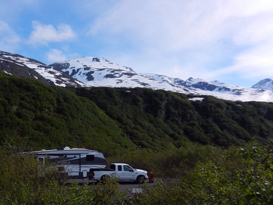 Blueberry Lake State Park
 Well, we had nothing to worry about. As we made the turn onto the park road, we discovered there was still snow on the roads – several inches deep. We managed to weave around most patches since we were now committed. There was nowhere to turn around until we made the loop in the campground. We had our pick of sites, since we were the only ones camping there. Over the next few nights of our stay, we seldom had more than a couple of neighbors. When the sun finally emerged from behind the clouds, we discovered we were in the middle of the snow-covered mountains above Valdez, and the views were awe-inspiring.
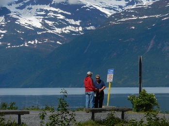 Fred and Dave in Valdez
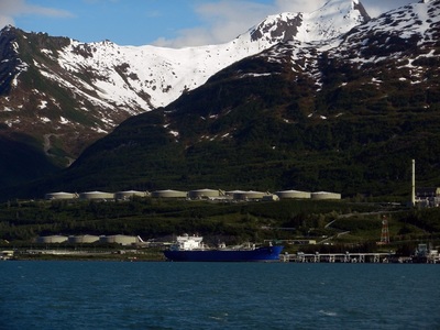
 Valdez was one of the cities we had missed on our earlier trips to Alaska. As the terminus of the Oil Pipeline, and the primary port on Prince William Sound, we were curious to see what it had to offer. At the Valdez museum, we learned more about its past. The town was named before it even existed, being promoted as the debarkation point for the “All –American” route to the Klondike Gold Rush. The first prospectors arriving at the site were shocked to find merely a snow-covered plain greeting them. There was no town. They set up their tents and a town was born. As a port that is navigable year-round, Valdez was the logical choice for the oil to be off-loaded from the pipeline into ships. However, that led to the infamous incident with the Exxon Valdez oil spill in 1989. None of that oil spill flowed into the Port Valdez, but the town was transformed by the impacts on the fisheries and the wake-up call it provided to initiate citizen oversight of the clean-up.
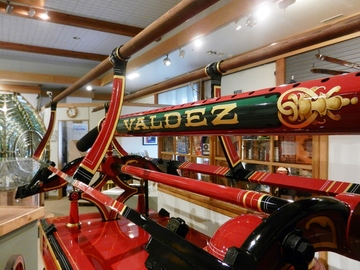 Restored fire engine in Valdez Museum
 The museum also told the poignant story of the 1964 earthquake -- and also how the reckless decision to build the town on its original site, over a glacial stream bed, was to prove fatal six decades later. On Good Friday, a 9.2 quake – the second strongest ever recorded – shook the ground for 5 minutes. As it struck, the loose rock supporting the town’s waterfront simply gave way and dissolved into the sea. There were 32 people on the town dock meeting the supply ship that had recently arrived. All of them died. The town subsequently moved 4 miles west to its present site, which sits on bedrock. The museum had a scale model of the entire old town Valdez, and a movie that allowed the eye witnesses to tell their story. Valdez lost more people than any other Alaskan town, but was determined to carry on.
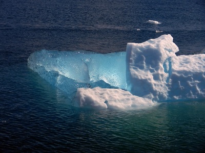
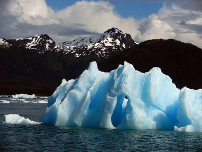
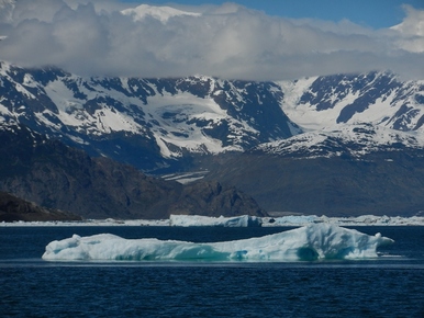 Blue Ice iceberg from Columbia Glacier
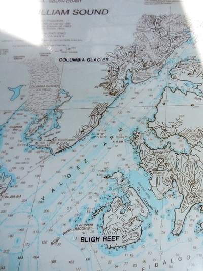
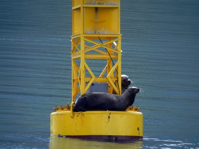
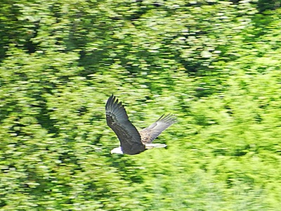
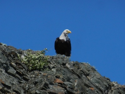
 The highlight of the visit to Valdez was a cruise to see the Columbia Glacier and the wildlife in Prince William Sound. We had barely left the dock before we saw a humpback whale feed in Port Valdez, followed in quick succession by sea otters, sea lions, eagles and orcas. Our destination, the 2-mile wide Columbia Glacier, is a tidewater glacier, meaning it terminates well out into the fjord off Prince William Sound. (It was ice from this glacier, when it was much larger back in 1989, that caused the Exxon Valdez to steer a course close to the reef that breached her hull. With the autopilot on, the captain left her in the hands of the third mate, who didn’t turn off the autopilot when the course change was required to avoid the reef. By the time he realized what had happened, it was too late.) Like most glaciers in Alaska, the Columbia Glacier is retreating and has been for quite some time. The blue ice of the icebergs is something unique. When the icebergs become top-heavy, they fall over, revealing some startling blue clear crystal ice underneath. We saw at least one example of this. On our return, we stopped by an island that is home to hundreds of sea lions. They were basking in the afternoon sun as we watched them from a short distance away. On the whole, it was an amazing day.
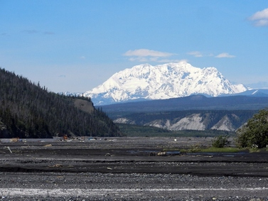 Mount Drum
 Copper River Valley – Chitina and Wrangell-St. Elias NP
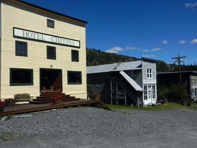
Making our way north out of Valdez, the clear blue skies allowed us to see what we had missed on our way south. The tallest peaks of the Wrangell-St. Elias range soared in the distance. These mountains are part of the enormous National Park that encompasses the Alaska side of the US-Canadian border down to Glacier Bay NP. We had several days of good weather and got to enjoy these snow-covered peaks towering over us throughout our stay in the valley. We stopped for a few nights at Tonsina River Lodge. This was a lodge and RV park run by a Russian couple, who came here to escape the heat of Florida. Enjoying the Russian food in their restaurant the first night made our stay worthwhile by itself. The next day, the proprietress scolded us that we were working on chores and not getting out. So, at her direction, we took the Edgerton highway down to Chitina on the Copper River.
Making our way north out of Valdez, the clear blue skies allowed us to see what we had missed on our way south. The tallest peaks of the Wrangell-St. Elias range soared in the distance. These mountains are part of the enormous National Park that encompasses the Alaska side of the US-Canadian border down to Glacier Bay NP. We had several days of good weather and got to enjoy these snow-covered peaks towering over us throughout our stay in the valley. We stopped for a few nights at Tonsina River Lodge. This was a lodge and RV park run by a Russian couple, who came here to escape the heat of Florida. Enjoying the Russian food in their restaurant the first night made our stay worthwhile by itself. The next day, the proprietress scolded us that we were working on chores and not getting out. So, at her direction, we took the Edgerton highway down to Chitina on the Copper River.
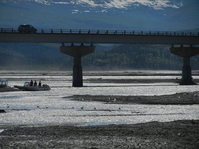
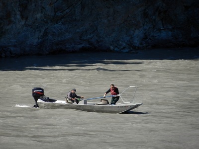
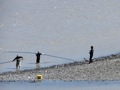 Dipnet Fisherman in the Copper River at Chitina
 The Edgerton highway follows the Copper River and crosses it just east of Chitina. The river drains the many glaciers in the area, so it is milky with silt and a fast current that races downstream. It was the first weekend of the salmon run, and the fishermen were out in force at the Chitina bridge. There are two fishing methods used on this part of the river. Dipnetting uses a net on a very long pole either from shore or a boat. The pole is extended in the water to scoop out the salmon. This can be very dangerous, since a fisherman who is pulled into the river is likely to be weighted down by silt and carried off by the current never to be seen again.
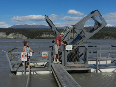 Fishwheel in the Copper River
 The other method is a fishwheel. This is a passive machine that is driven by the river current. There are baskets on opposite ends of pivot point. As the wheel spins, the salmon are scooped up and dumped into a catch bin. We saw a traditional version of this at the Wrangell-St. Elias National Park Visitor Center. It is made completely out of spruce wood. However, the modern versions are made of sturdier wood and metal. They both operate on the same principal, driven by the river’s current. Each can be raised or lowered to allow the baskets to “fish” at the right depth in the river.
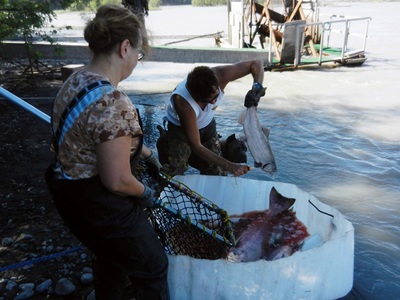
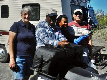 Posting with proud fishermen with king salmon catch - her first
 We got to talk with a few of the fisherman. They were proud of their catch so far – a lot of red or sockeye salmon and a few sizeable king or Chinook salmon. They were planning to use every piece – grilling, smoking, canning – you name it. We were the lucky recipients of Alaskan hospitality when we were given a freshly caught red salmon to take for our dinner, filleted for us as well. We grilled it and enjoyed every ounce that night for dinner.
On our final day in the area, we drove north to the Wrangell-St. Elias National Park Visitor Center. It was here that we got a sense of the vastness of this park. We stood on its edge, but the two mountain ranges that were off in the distance could take a lifetime or more to see. Like its sister park in Canada, the movie gave us a sense of what was being protected within its borders. On our way back to the campground, we stopped to see some fisherman casting for salmon in the Klutina River with bare hooks. This is the only method allowed on this part of the river, but the results (for fish that don’t feed as they return to spawn) were not nearly as impressive as the dipnetting and fishwheels. We only saw one fish among many fisherman.
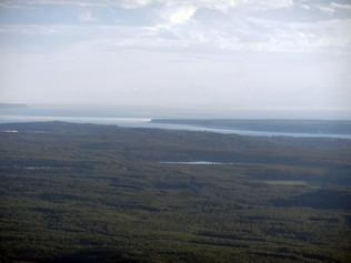 View of Knik Arm from Lois and Eric's porch
 On to Anchorage
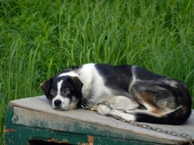
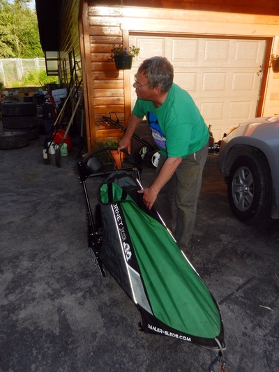
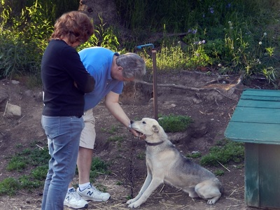
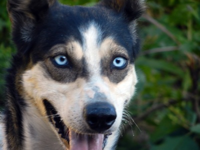
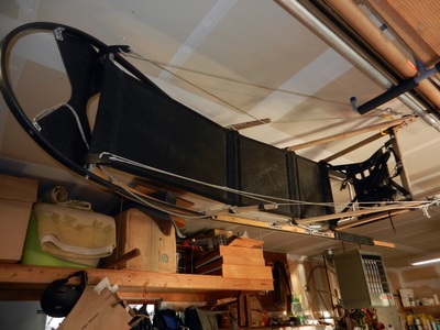
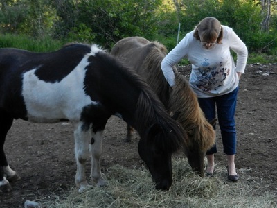
Staying at a town just north of Anchorage, we positioned ourselves to take care of some chores and visit with a cousin of Dave’s who lives in Anchorage’s northern suburb, Eagle River. Shortly after arriving, we visited a local festival, Colony Days in nearby Palmer. Later that evening, we got reacquainted with cousins Lois, Eric and Andy for dinner at their favorite restaurant, Turkey Red. We got to visit some more over dinner at their house Monday evening. Lois and Eric’s house is perched on the side of a mountain overlooking Knik Arm. In addition to a couple of Icelandic horses, they have over two dozen dogs and at least half a dozen dog sleds to enable them to race or just explore with their dogsled teams. Both of their kids have competed successfully since they were young. The dogs were energetic and, mostly, very friendly. But they were surprisingly slight. Not the big huskies that come to mind.
Staying at a town just north of Anchorage, we positioned ourselves to take care of some chores and visit with a cousin of Dave’s who lives in Anchorage’s northern suburb, Eagle River. Shortly after arriving, we visited a local festival, Colony Days in nearby Palmer. Later that evening, we got reacquainted with cousins Lois, Eric and Andy for dinner at their favorite restaurant, Turkey Red. We got to visit some more over dinner at their house Monday evening. Lois and Eric’s house is perched on the side of a mountain overlooking Knik Arm. In addition to a couple of Icelandic horses, they have over two dozen dogs and at least half a dozen dog sleds to enable them to race or just explore with their dogsled teams. Both of their kids have competed successfully since they were young. The dogs were energetic and, mostly, very friendly. But they were surprisingly slight. Not the big huskies that come to mind.
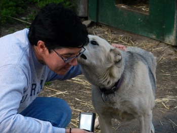 Annie gets a kiss
 Our group of 4 also got a little bigger when Pat’s sister Annie joined us in Anchorage. Knowing that her time was limited, we headed south into the Kenai Peninsula, saving our exploration of the big city for our return trip.
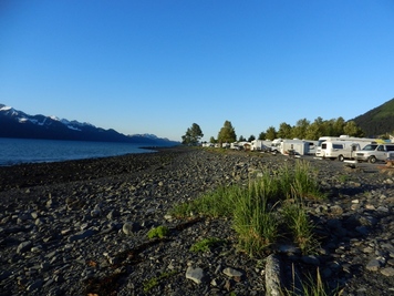 Seward Waterfront Park
 Kenai Peninsula – Seward
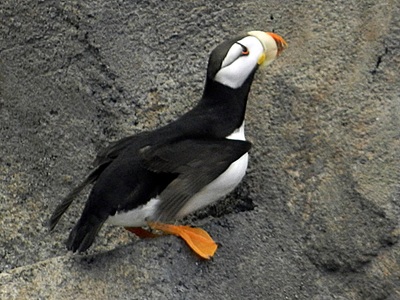
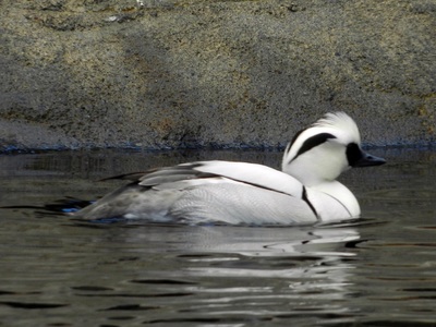
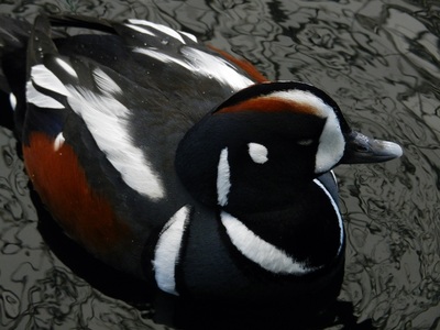
Our first stop on the Kenai was Seward, at the southeastern tip. We pulled into a coupled of spots right on the water at the city’s RV park. You couldn’t ask for a better view from our back window. We spent the afternoon at the Sea Life Center, which we had visited on our last trip. The close-up view of the sea birds, harbor seals and sea lions allowed more time to watch their behaviors, especially since the aquarium let you see them below the water as well. The most captivating view was of the puffins diving deep into the water to search for fish, before finally surfacing again.
Our first stop on the Kenai was Seward, at the southeastern tip. We pulled into a coupled of spots right on the water at the city’s RV park. You couldn’t ask for a better view from our back window. We spent the afternoon at the Sea Life Center, which we had visited on our last trip. The close-up view of the sea birds, harbor seals and sea lions allowed more time to watch their behaviors, especially since the aquarium let you see them below the water as well. The most captivating view was of the puffins diving deep into the water to search for fish, before finally surfacing again.
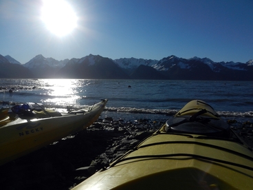 Kayaks ready to launch
 The next day, while Pat and Fred did a glacier cruise with Annie, we took a sea kayak trip down Resurrection Bay to see a waterfall. We had a good time and with the sunny day, the temperatures were just right. Unfortunately, the warmth of the sun created windy conditions on the bay, so we were paddling into the wind and waves on the way back. This wouldn’t have been too big a concern, except the other couple on the tour were not good paddlers. We had to repeatedly wait for them, falling back and having to recover the ground we lost. It made for a longer trip back, but still well worth the adventure.
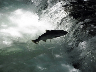
On our final day in Seward, we hiked to nearby Exit Glacier, part of the Kenai Fjords National Park. This glacier like so many others has retreated miles since it was first photographed in 1900. The park has signposts along the road and trail showing where its terminus was in different years. After stopping at the glacier, we drove over to a salmon hatchery to see the salmon jumping the falls to get back to their spawning area. It was pretty tough work, since few salmon made the leap successfully the first time.
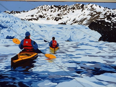
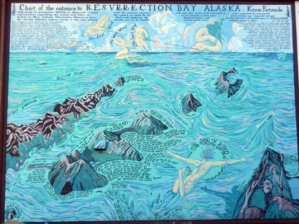 Another mural depicted an artistic chart of Resurrection Bay
 After three days, it was time to say goodbye to this beautiful port. We headed out for Soldotna on the west coast of the Kenai.
RV Stuff
With several days off the grid while staying at Blueberry Lake, Dave was becoming increasingly unhappy with the RV’s battery charger. He decided to order and install an Iota 30a battery charger. This wouldn’t replace the RV’s charger, but would allow the generator to predictably charge the batteries. The first use in Seward produced smiles, meaning that the voltage was being raised to a level sufficient to give a better charge in a shorter time.
