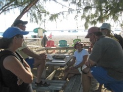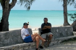
Dave and Fred chat at New Bight
As our last entry ended, we were at Long Island, contemplating whether to move onto Cat Island -- the next out island north of us and generally on a route to the Abacos, or Conception Island – due east of Long Island and a little more remote. Well, we made up our minds and have headed north to Eleuthera, where we’ll hopefully be able to post this update. As our last entry ended, we were at Long Island, contemplating whether to move onto Cat Island -- the next out island north of us and generally on a route to the Abacos, or Conception Island – due east of Long Island and a little more remote. Well, we made up our minds and have headed north to Eleuthera, where we’ll hopefully be able to post this update.
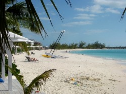
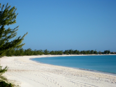
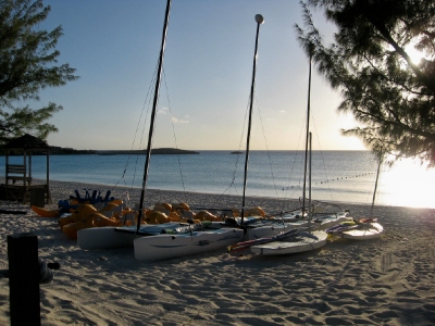
Cape Santa Maria Resort beach at Calabash Bay
North to Cat Island
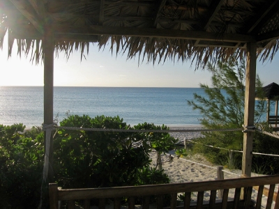
With the weather forecast in mind, we decided to head toward Cat Island, leaving Conception Island for another visit. To break up the trip, we stopped first at Calabash Bay on the northern tip of Long Island, home of the Cape Santa Maria Resort. We were a little on guard for the surge warnings in the guides, which turned out to be well-founded. Although we were well protected from the east winds, the swells rolled into the anchorage from the west. As the winds shifted to the southeast, this put the swells on the beam and made for an uncomfortable night. The resort is lovely though, and we did manage to go ashore to see how the other half lives.
With the weather forecast in mind, we decided to head toward Cat Island, leaving Conception Island for another visit. To break up the trip, we stopped first at Calabash Bay on the northern tip of Long Island, home of the Cape Santa Maria Resort. We were a little on guard for the surge warnings in the guides, which turned out to be well-founded. Although we were well protected from the east winds, the swells rolled into the anchorage from the west. As the winds shifted to the southeast, this put the swells on the beam and made for an uncomfortable night. The resort is lovely though, and we did manage to go ashore to see how the other half lives.
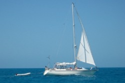
Marianna under sail from Long Island to Cat Island
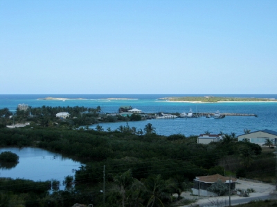
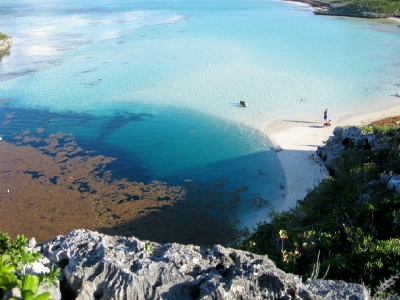
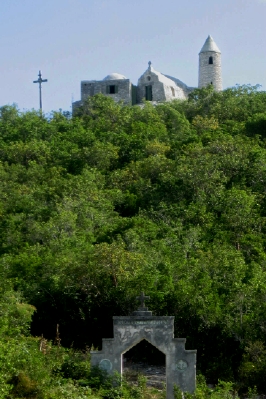
We were up early the next morning and on our way across the Exuma Sound to Cat Island, watching with fascination as the sizable waves crashed on the reef on the tip of Long Island. The swells were now coming from the southeast, but their height was still up, making our downwind sail impractical. The boat was swinging too much with each swell. We decided to motorsail with just the headsail, taking a course 25o to starboard of our rhumb line course to take better advantage of the wind angle. By noon, we saw the startling emerald green line of shallow water that marked the banks off Cat Island, at the far edge of the very deep royal blue waters of Exuma Sound. The waves diminished as we rounded Hawk’s Nest Point. We cut the engine and sailed into New Bight, where we set the anchor in the shadow of the Hermitage, Father Jerome’s retreat, built on the highest hill in the Bahamas.
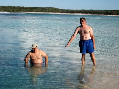
The water was calm and shallow enough that we decided to swim out and look at the anchor. What we saw was interesting. The anchor had obviously dropped and then dragged for about 30 feet before it finally set, with only one fluke buried in the sand. We were a little uncomfortable with the set, so we decided to try again in a little different place. This time, it set right away. Dave swam out to look at it again and found a better set. The winds were supposed to increase in a couple of days, so we wanted to be sure it would hold.
The water was calm and shallow enough that we decided to swim out and look at the anchor. What we saw was interesting. The anchor had obviously dropped and then dragged for about 30 feet before it finally set, with only one fluke buried in the sand. We were a little uncomfortable with the set, so we decided to try again in a little different place. This time, it set right away. Dave swam out to look at it again and found a better set. The winds were supposed to increase in a couple of days, so we wanted to be sure it would hold.
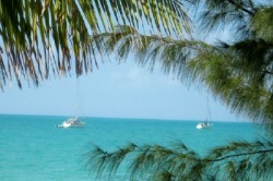
Marianna and Orion at anchor in New Bight
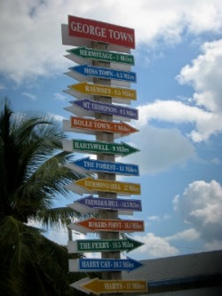
New Bight, Cat Island
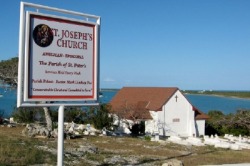
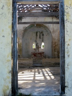
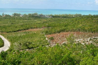
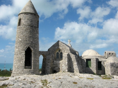
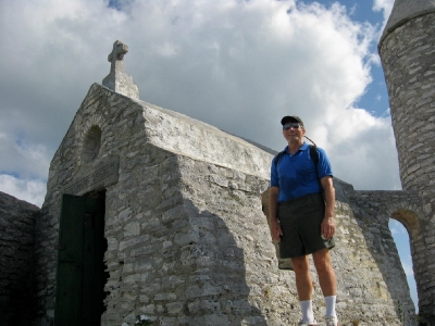
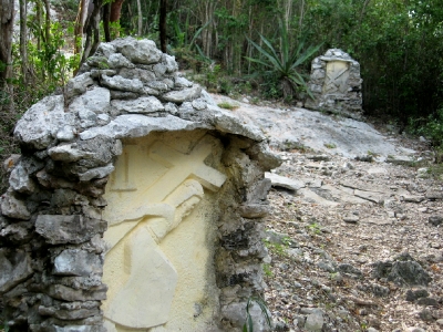
The next day, we headed in to explore the island. Our first stop had to be the biggest attraction on Cat Island – Father Jerome’s Hermitage on Mt. Alvernia (aka Como Hill)(. Father Jerome had converted from Anglicanism to Catholicism and become a priest later in life. He asked for permission to retire here on Cat Island, and lived initially in a cave on the hill as he hauled the stone and built the structure that is now referred to as the Hermitage. Like the many churches he built throughout the Bahamas, the structure is solid and built to withstand the hurricanes that can visit the islands. It is also built on a scale for just one person -- although it looks much larger from a distance. We were anchored just off the road that led up the hill (the highest in the Bahamas at 206 ft), so we it was only about a 30 minute climb to the top.
The next day, we headed in to explore the island. Our first stop had to be the biggest attraction on Cat Island – Father Jerome’s Hermitage on Mt. Alvernia (aka Como Hill)(. Father Jerome had converted from Anglicanism to Catholicism and become a priest later in life. He asked for permission to retire here on Cat Island, and lived initially in a cave on the hill as he hauled the stone and built the structure that is now referred to as the Hermitage. Like the many churches he built throughout the Bahamas, the structure is solid and built to withstand the hurricanes that can visit the islands. It is also built on a scale for just one person -- although it looks much larger from a distance. We were anchored just off the road that led up the hill (the highest in the Bahamas at 206 ft), so we it was only about a 30 minute climb to the top.

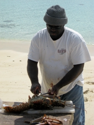
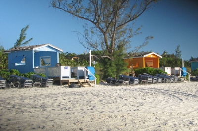
On our return down to the Queens Highway, we visited the nearby bakery and the service station, which had fuel, propane, a convenience store with a decent variety of groceries and even cars for rent. It doesn’t get much more convenient than that. Although we took the longer walk to a larger grocery store the next day, we found that we would be satisfied with the nearer store. We also went in search of fresh conch and/or lobster, visiting Regatta Park, a row of small huts by the beach where short order meals were served. There was no lobster today, but maybe tomorrow. A familiar line in the Bahamas. We eventually hit the stand on the right day and had some great lobster and fish. We even bought one to cook back on the boat, which we combined with some precious steaks to have a rare evening of surf and turf on Marianna.
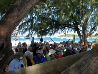
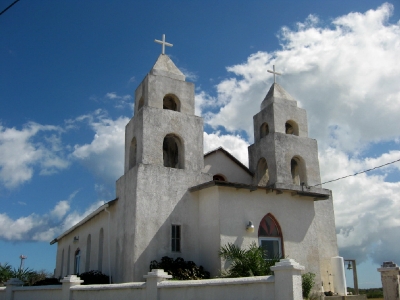
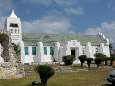
On Sunday, we managed to hitch a ride with the catholic priest up to the Holy Redeemer Church. He arrives every other week from Nassau by plane to perform services there. It was a small congregation and an unusual mix of nationalities that were in attendance, but the message was thoughtful and the singing enthusiastic for a small group.

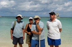
We remained the only 2 boats in the harbor for a couple of days until Early Out arrived late Sunday,. On Monday, they joined us on Orion for hor d’ouvres. As they left, we reminded them that it was the responsibility of the newest boat in the harbor to host the “Cat Island Cruisers Net” in the morning – a tongue in cheek reference to the much more regimented Georgetown community. To our delight and amusement, we were greeted the next morning to an announcement of “please turn to channel 18 for the Cat Island Cruisers Net”. We were then treated to the weather (windy), the news (nothing good), a welcome of new arrivals (none reported), and a request for community announcements. We cruisers are nothing if not organized.
On to Little San Salvador
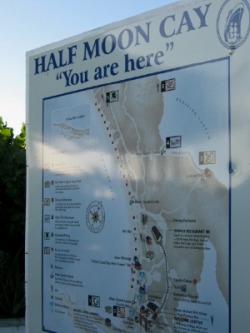
After spending a little over a week at New Bight, we finally got the right weather to start moving north to Eleuthera. We had a good sail with the winds finally down to a manageable level (although we had both sails furled partially), as we headed north to West Bay on Little San Salvador, the island that the current cruise line owners have renamed Half Moon Cay for their passengers. The cruise line staff greeted us as we were about to anchor, telling that we could go ashore once the cruise ship left.
After spending a little over a week at New Bight, we finally got the right weather to start moving north to Eleuthera. We had a good sail with the winds finally down to a manageable level (although we had both sails furled partially), as we headed north to West Bay on Little San Salvador, the island that the current cruise line owners have renamed Half Moon Cay for their passengers. The cruise line staff greeted us as we were about to anchor, telling that we could go ashore once the cruise ship left.
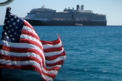
West Bay is a crescent shaped beach open to the Exuma Sound on the west. Within a mile from shore, the water depths are over 1000 feet deep. The difference in water color is once again very dramatic. It was fascinating to watch the cruise ship activities both on shore and on and around the ship. The biggest negative was that, once again, the swells coming in from Exuma Sound were mild, but on the beam and made for a not so restful night.
We were up the next morning and off for another good sail -- this time with full main and headsail -- to Rock Sound, Eleuthera, where we planned to wait out a cold front and maybe do some exploring of another Bahamas Out Island.