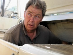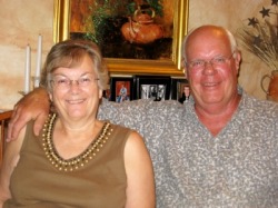
We can now attest to being fully-certified as able-bodied crew, having taken our first voyage in that capacity on the good ship Marianna, under the astute guidance of Captain Fred. We can report that we left both captain and vessel in basically the same state as we found them, despite our best efforts to do otherwise.
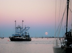
Moonrise over the Merrimac River in Newburyport
Newburyport to Onset
On Monday, Sept 15th, our plans to head out the Merrimac River on our first leg of the journey south to Annapolis, MD were scuttled, thanks to the leftovers from Gustav which was blowing itself out over the New England coast. Instead, we made a short hop from the docks at Merrimar Yacht Basin to the Newburyport town docks. Although he claimed that this was to position Marianna downriver of the opening bridge and to get fuel for the trip, we believe Fred was just using this as an excuse to assess the capabilities of his untested shipmates. After a stop for fuel, we were safely secured on the town docks without any mishaps and said goodbye to Pat over a farewell dinner in town. Then it was an early night, so we could leave the Merrimac River under favorable currents as the sun rose the next day.
Our first day’s goal was Onset, MA, 80 nautical miles south and just on the other side of the C&D canal -- our timing for the day’s run virtually identical to the same trip last year on Orion. If everything went as planned, we would clear the canal just as the current turned against us and we turned into Onset. The light air gave us some winds for motorsailing as we passed Cape Ann and pointed for the entrance to the canal, but even that evaporated over time. Fred started to question the sanity of his helmsman, when in the charted 300+ foot depths of the Boston shipping lanes, Dave claimed to be “losing water”. But sure enough, the depth sounder was reading 35 feet, not 300. The NOAA weather had made mention of right whale sightings in this area, so we assumed that was the reason for the funny depth readings. True to Cathy’s luck with whales however, we saw none. (It’s also a little more unnerving to think something that size is nearby when you’re in a sailboat.) With this anomaly behind us, the rest of the day found us watching the time and estimating our arrival at the Canal. It was tight, but we made it through on a fair current and were on a mooring at Onset before sunset.
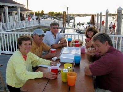
A check of the weather and Reed’s caused us to settle on a little later starting time on Wednesday as we fought some current leaving the canal to gain it in Buzzard’s Bay. The winds were light, so there was little help from sails as we motored on to Block Island. Unlike our arrival there last summer, the anchorage was much roomier, so we got to try our hand at anchoring another boat. Cathy made sure Dave took the helm to get a taste of the other side of anchoring. With the headphones picking up a local radio station, Cathy relayed communication from the bow to the helm, sort of like Lt. Uhuru in Star Trek. With the anchor set early and a calm night expected, we grilled our dinner and enjoyed the Block Island sunset as we planned the rest of the trip.
Block Island to Port Jefferson
We were now at a decision point – go outside from Block Island to Cape May, similar to our trip last year or go inside through Long Island Sound, and New York to Sandy Hook. The weather forecast was making this an easy decision. High winds and waves offshore caused us to start planning an inside route, with our next port of call, Port Jefferson, NY on Long Island. This would be a long run, which we could only make if the currents and winds cooperated, so we left at sun-up to head out into Block Island Sound. If our timing was right, we would reach the Race (the narrow channel where the waters from Long Island Sound rush through to Block Island Sound and vice versa) about an hour after the current became favorable. This would give us the best chance of reaching Port Jeff. As the day wore on, the predicted winds and waves built, but they were behind us, so we decided to take a chance and just sail with headsail. With Mother Nature giving us a push of both current and wind, we continued to make good time and made Port Jefferson by sunset. After a quick dinner, the crew abandoned ship to take a shower ashore and get a quick look around, since we had never been here before.
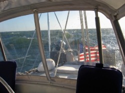
Higher seas in Long Island Sound
Port Jefferson to Manhasset
The next day’s weather was going to be the roughest so far. Winds were supposed to gust above 25 knots from the east and waves were going to be as high as 5 feet in the sound. We decided to head out and see how bad it was. If we didn’t like it, we could turn around or duck into the next port down the sound. Although the morning was rough, the weather gradually calmed down as the day progressed. Once it did, we turned off the engine and sailed up the sound to Manhasset, arriving in early afternoon. We were early enough that after picking up one of the free town moorings, we rode the launch in to do laundry and pick up a few groceries. Of course, we had to pass by an ice cream store in the process, as well.
Manhasset to Sandy Hook
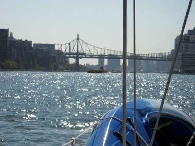
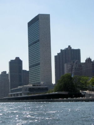
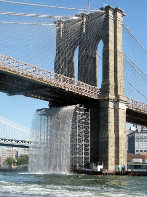
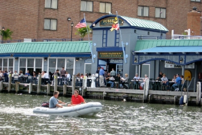
Saturday turned out to be a beautiful day to transit the East River around Manhattan. The favorable currents caused us to wait for a noon departure, which felt odd, but made for a beautiful afternoon trip through NYC. Although we couldn’t quite see her, Pat was waving to us from shore south of the Brooklyn Bridge with her daughter Jen. They saw us and apparently have pictures to prove it.

Sandy Hook to Annapolis
After anchoring as the sun set in Sandy Hook, we listened once more to the weather. It seemed that a window still existed that would allow us to travel from Sandy Hook to Cape May and possibly up the Delaware Bay. Fred was more skeptical than his crew, based on our radically different experiences traversing the Delaware Bay. He had never had a good trip up the Bay on the way south. Only time would tell.
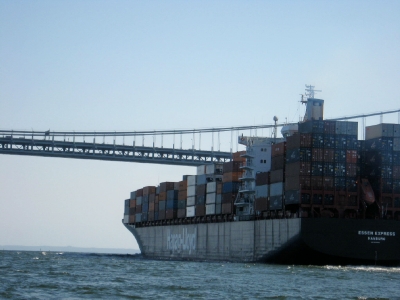
Just before departing at sunrise on Sunday, we checked the buoy reports and found reports of 6 ft swells off Long Island. Not great, but they were supposed to be behind us and diminishing over the course of the day. As we rounded Sandy Hook, we saw the first of the swells, but were pleasantly surprised at how gentle they were, the long period smoothing out the ride from crest to trough. The wind and wave direction were more southeast than the northwest being forecast, but light enough to be no factor at all. By midnight, we were passing Cape May and by 1am we had begun our run up the Delaware Bay. The flurry of inbound and outbound commercial traffic we encountered at the mouth of the Delaware Bay quickly calmed down as we began our run up to the Chesapeake and Delaware Canal.
It looked like we had it made as we flew up the bay in flat seas at 8 knots. But it seemed our good luck had come to an end with the 4am VHF call to say that the C&D Canal was closed until further notice. Closed? Apparently the still night which was giving us such flat seas had allowed fog to roll in further upriver. We were grateful not to be experiencing it out where we were, but at our speed we would arrive at the canal between 7 and 8am. Would it be open by then? We proceeded on, deciding not to slow down at all -- until we had to. Just as we were approaching the canal and about to call to get the current status, we heard the announcement that the canal was re-opened. Maybe luck was still with us.
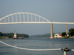
Following the Bering Sea through the C&D canal. By following this tug very closely, we managed to squeak through before the railroad bridge closed just after we went through.
Now that we had the bulk of the risky miles behind us, we had one more decision to make. We could stop at the top of the Bay and get some rest, or we could keep going on to the Magothy River to George and Gail’s dock, where our car was parked. That would take until mid-afternoon. Were we rested enough? We decided we were. We forged ahead and tied up to the dock by 3pm, an amazing 33 hour run.
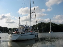
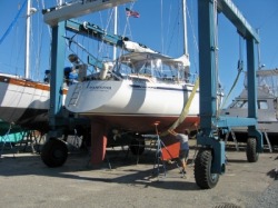
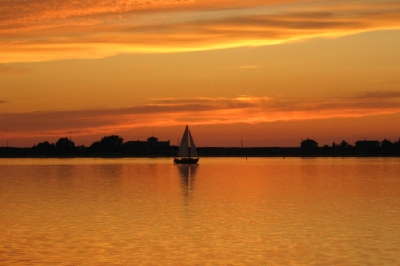
Marianna heads out from the Magothy River to Annapolis.
We were greeted there by George and Gail who were incredibly generous hosts, feeding us and making their home available to us. We felt like royalty. After a couple of nights enjoying their hospitality, Fred decided to move on to Annapolis, to hopefully get a mooring ball that he could keep for the boat show. With Cathy driving the “chase” vehicle, the 2 guys set off on the morning of the 24rd for a great sail down the bay, through the Bay bridge and into the Severn River. With the good luck continuing to follow him, Fred secured a mooring ball that would not be removed for the boat show, so he was set for the next few weeks.
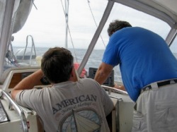
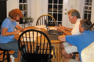
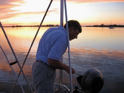
Dave and Fred hover over the C80, where they spent many hours during our cruise
Lessons Learned
So, what’s the difference between crewing and being captain and owner of your own vessel? Here are some of the things we learned:
So, what’s the difference between crewing and being captain and owner of your own vessel? Here are some of the things we learned:
- Hugging a buoy has a different meaning in our boat than in someone else’s.
Dave set a new record for the shortest distance between the boat and a buoy without getting some red paint on the hull. (Cathy tried to best him overnight on the Delaware Bay. Boy, those unlit buoys are hard to see!) - There’s no better way to sea trial a new set of electronics than by using them on another boat
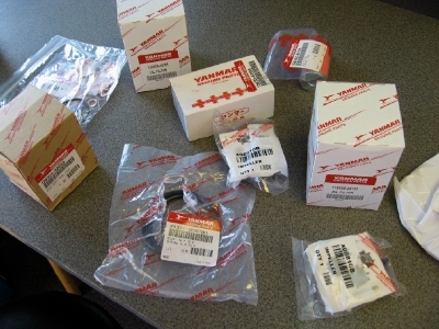
Dave has been shopping for a Raymarine C80 for months now. He got to spend hours with Fred playing learning the C80’s capability to make routes, communicate with the autopilot, set off alarms. You name it. Pat will likely not recognize it when she re-joins Fred.
We also got to see radar in use for the first time, especially in the busy New York Harbor and the Delaware Bay entrance, which helped not only with the ships, but with the buoys (well most of them). Using this tool together with AIS to name the ships on the screen would be a powerful combination. - It’s best not to use waypoints in a route that you’re using to steer the boat (i.e the autopilot track function) unless you know they are not on top of the buoy. (See #1.)
With Dave’s help, Fred managed to use his C80 to control his autopilot, and set it up to steer the boat to a route entered in the C80. This process had a learning curve associated with it that included allowing Marianna to travel uncomfortably close to fixed objects and to make some dramatic (i.e. 180 degree) turns as we tried to learn which buttons to push to make the interface work as planned. - No matter what happens, it’s not really your fault.
After all, the captain is responsible for his vessel. Right?~
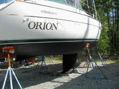
So, what about Orion?
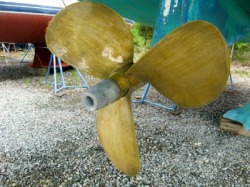
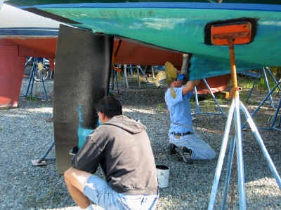
Before leaving to go north, we had agreed to go in with a couple of other cruisers on the purchase of a special anti-fouling paint for the prop, called Prop Speed. After hearing the testimonial of another cruiser and seeing his prop after having cruised with it for a year, we decided it was worth a try. So Chris and Dallas applied the paint to our props as well as theirs while we were gone. The paint is not cheap, so its gold color was very appropriate.
So, once we returned, we only had to get the bottom painted and put Orion in the water and we would be on our way. Right? Well, not quite.
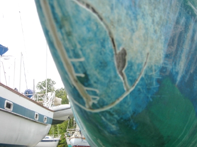
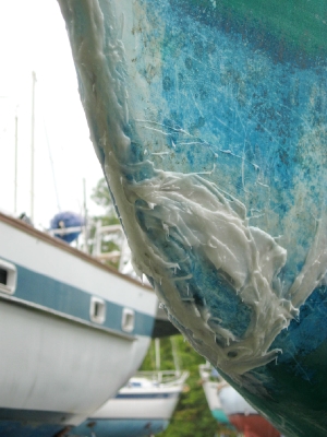

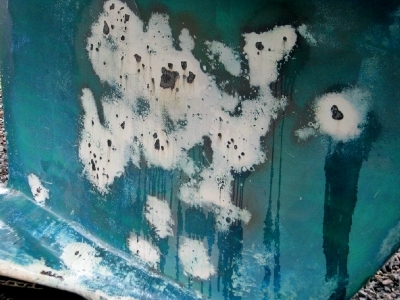
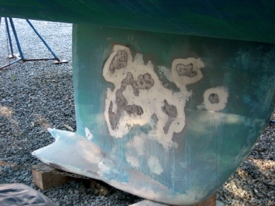
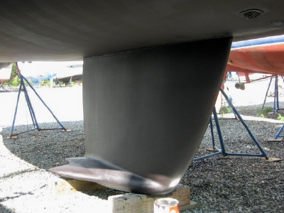
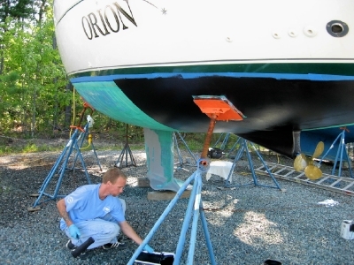
The morning after we returned, the boatyard began prepping the bottom for painting and discovered a crack in the bow. (Have you run into anything? Not that we remember. And we would remember that.) By the end of the next day, the area had been drilled out to confirm that it was only a crack in the gelcoat, not in the fiberglass underneath. With some epoxy to fill the now widened crack, the gelcoat was repaired and the bottom prep continued. The keel had some rust spots that were sanded and treated to make the rust inert. Then the 2 cans of paint were rolled on over the course of 2 days.
So, now we can go back in the water and leave. Right? Well, not quite.
We had ordered a line cutter that would not arrive for a couple more days. And we had to return our car to Emporia, so our earliest departure would have to be Monday, October 6th if all goes well. So, it will be a fast trip up the bay to Annapolis if the weather cooperates. Which it will. Right?
Maybe we used up all our good luck on Marianna. We’ll see.